
River Conditions
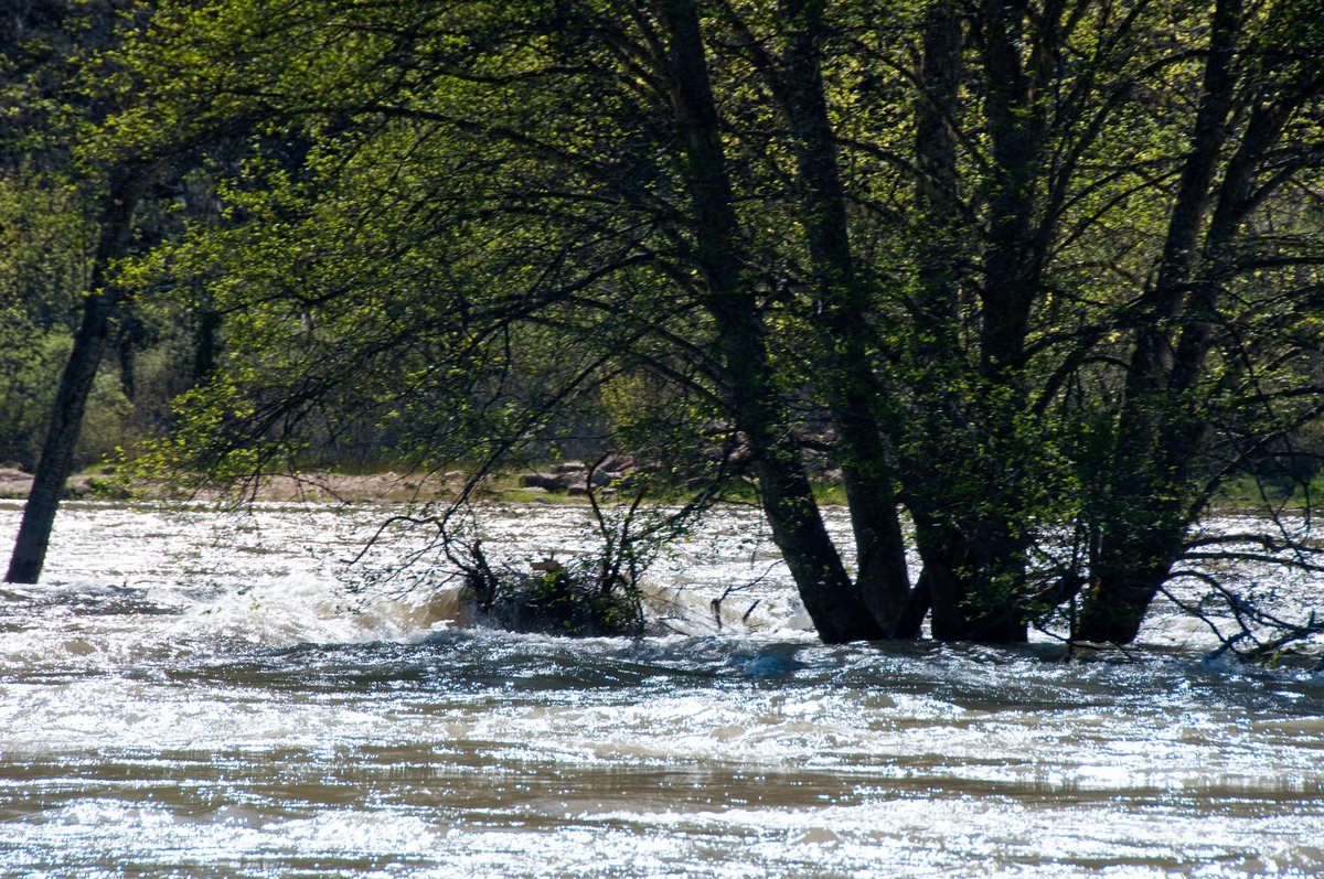
Woody debris catching on trees at TRRP’s Reading Creek site (wood makes good fish habitat)
The Trinity River is managed to mimic natural flowing rivers, and support the conditions that create and maintain natural river processes. The dynamic, active waters of the Trinity create an ever changing landscape both on the banks and in the channel. Current conditions on the Trinity River are given in the table below and on our home page. The values shown are queried from USGS every 15 minutes, to keep it up to date.* The time of the measurement is also shown. Keep in mind that these are provisional data; the USGS takes periodic field measurements and may need to recalculate data for final approved values (typically a couple times per year).
*The USGS uses multiple internet servers to distribute data in different ways, sometimes the NWIS page may show a slightly more recent measurement than provided by the webservice query shown here.
STREAM GAGE MAP
Please wait...

Streamgaging of the Trinity River.
RESTORATION FLOW PAGES