Summary of the Trinity Management Council’s March Quarterly Meeting
The Trinity Management Council met in-person on March 25 and 26 in Willow Creek for a spring-quarter meeting to discuss the work shaping the Trinity River Restoration Program (TRRP). The meeting brought together leaders from multiple agencies and tribes who shared updates on operations, science, restoration work, and the long‑term stewardship of the river. The following highlights the main themes and takeaways from the session – the full notes will be posted (here) after approved by TMC at the June 2026 meeting.
Executive Director’s Report (TRRP Staff)
Mike Dixon opened the Executive Director’s report with an overview of current program operations, staffing realities, and fiscal constraints shaping TRRP’s workload. He noted that the office continues to operate under unusually heavy demands while key positions remain unfilled. A vacant physical scientist role—critical for flow scheduling and coordination with Central Valley Operations—was recently forwarded to Washington, D.C. for approval to recruit, which he described as a welcome development given the cumulative burden on remaining staff. He also shared that he has now officially begun serving as Acting Deputy Area Manager for NCAO, adding another layer of responsibility during an already demanding period.
Dixon focused on challenges resulting from the Department of the Interior’s transition to the G‑Invoicing financial system. The timing of the shift created widespread confusion across bureaus, leaving TRRP temporarily unable to access or spend funds transferred from partner agencies. Dixon credited TRRP Secretary, Samantha Maier, for stepping far beyond her normal duties to troubleshoot and restore functional financial workflows, ensuring the program could once again move money to partners and implement planned work.
On the operational front, Dixon provided a brief but important update on the escapement monitoring negotiations among Reclamation, CDFW, and the Hoopa Valley Tribe. A mediation team has been hired to help guide the parties toward an MOU addressing monitoring at the Lower Trinity River weir sites. He cautioned, however, that due to the delayed contracting timeline, no new agreement will be completed in time to change monitoring approaches for 2026, leaving the program in a “status‑quo” posture for one more year.
Dixon also reported meaningful progress on long‑requested temperature control planning at Trinity Lake. After years of delays the Value Planning Study for a Trinity Lake Temperature Control Device is now scheduled for early December. This study will convene technical experts from Reclamation regional offices, Denver TSC, and potentially DWR to evaluate feasible alternatives for selective withdrawal infrastructure. A summary of conceptual options is expected by March following the study session.
Finally, in lieu of Kristin Hiatt later in the day, he provided a re-consultation update for the Long-Term Operation of the Trinity River Division. The Biological Assessment is entering high‑level policy review and the cooperating agency Supplemental EIS is expected to circulate soon for a 30‑day Cooperating Agency Draft review period. If the schedule holds a public draft should be released this summer.
Implementation Branch
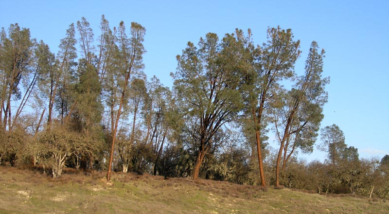
Implementation Branch Chief, James Lee, provided a thorough walkthrough of ongoing and upcoming channel rehabilitation, sediment management, and watershed-related activities. The update emphasized construction progress, design timelines, interagency coordination, and long‑term project sequencing.
Lee confirmed that Sawmill Restoration is expected to finish civil construction this year. The site is being transformed from a long‑used gravel excavation and processing area into a rehabilitated channel and floodplain complex.
More information about the project can be found here: https://www.trrp.net/phaseii-rehab-sawmill/
Lee noted that the Evans Bar Restoration Project in Junction City was originally expected to start construction this year, but the Federal team reported significant delays caused by the government shutdown that postponed value engineering (VE) study. The VE is now complete and provided extensive recommendations to the design team who are now working toward 60% design, estimated to be complete by June. Due to these delays, the project will not be ready to implement in 2026. The team noted communication with adjacent private landowners, who are concerned about access and public use.
Lee discussed upcoming projects like the Rush Creek Confluence Restoration Project, an older conceptual design that TRRP intends to advance into a 60% design, bringing the project into the pipeline for construction in the next several years. Also on the forefront is the Sky Ranch Project (Junction City) remains at 60% design due to delays with Federal land ownership transfers.
Lastly, Lee updated the TMC regarding the Sediment & Wood Augmentation project within the Steel Bridge Area which is the first use of the new Sediment and Wood Environmental Assessment. A presentation with details for the project was given by the Physical Workgroup Coordinator, Smokey Pittman at the end of the meeting.
James reported on several watershed restoration projects funded through NFWF:
- Deadwood Creek: NEPA and cultural compliance are complete; implementation expected in June.
- Salt Creek: Strong progress on compliance, but funding challenges may limit construction.
- East Branch of East Weaver Creek fish passage: Construction is scheduled for 2026.
- Browns Creek Water Resilience: Two landowners recently expressed interest, though archaeological concerns may reduce participation.
- Smith Pit: The Hoopa Tribe is pursuing design funding for restoration and the TRRP has committed to assisting with Environmental Compliance.
Public Outreach & Communications
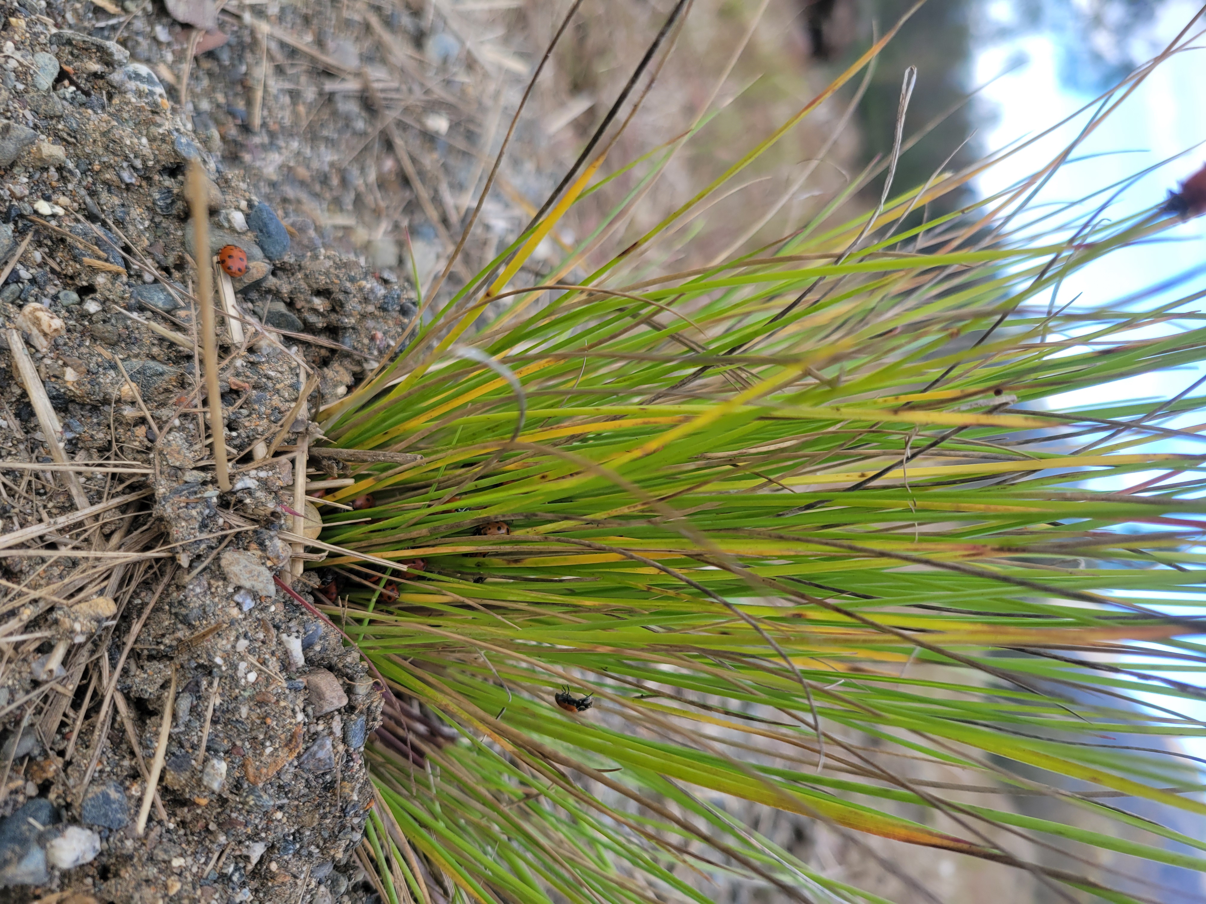
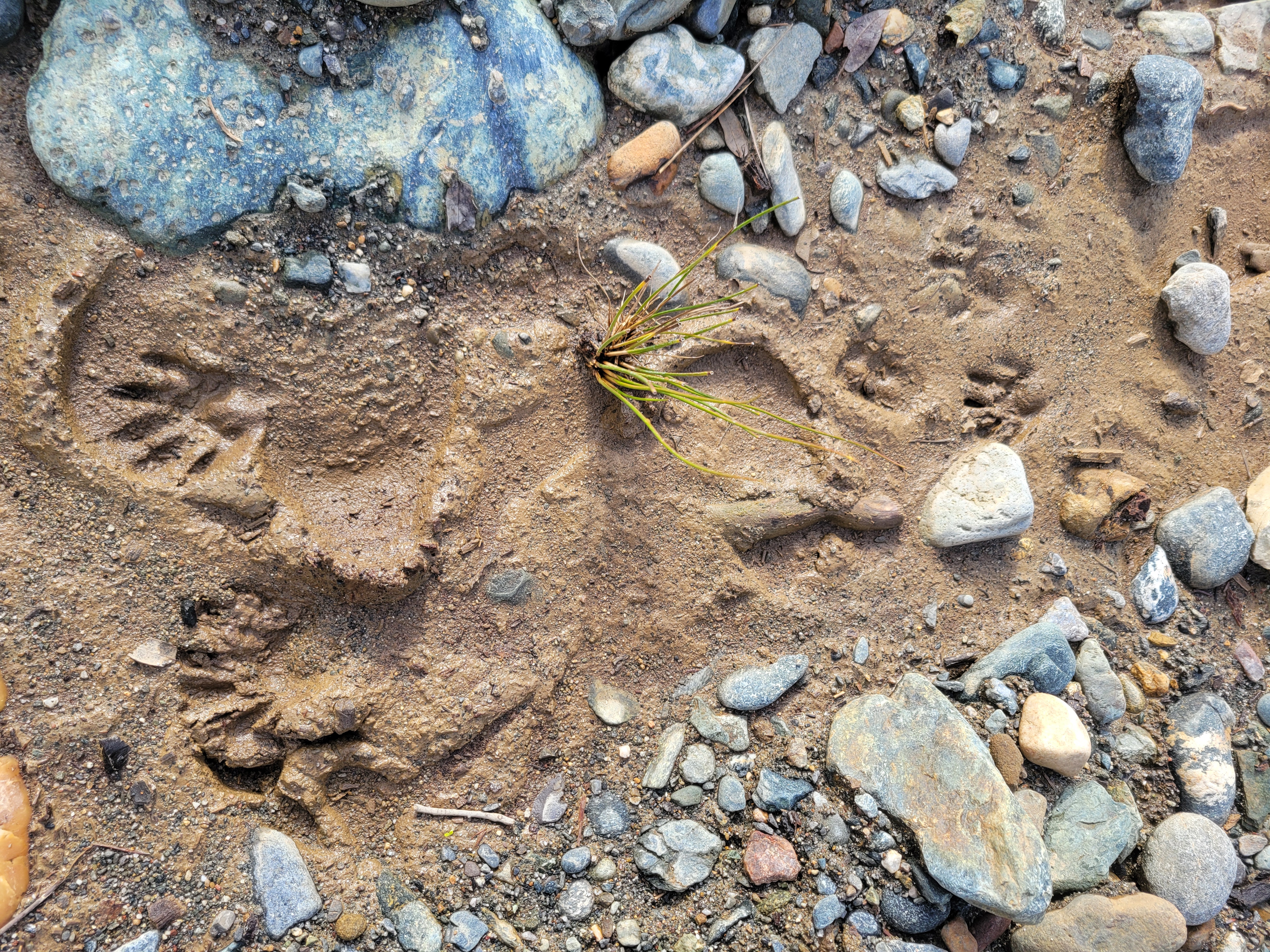
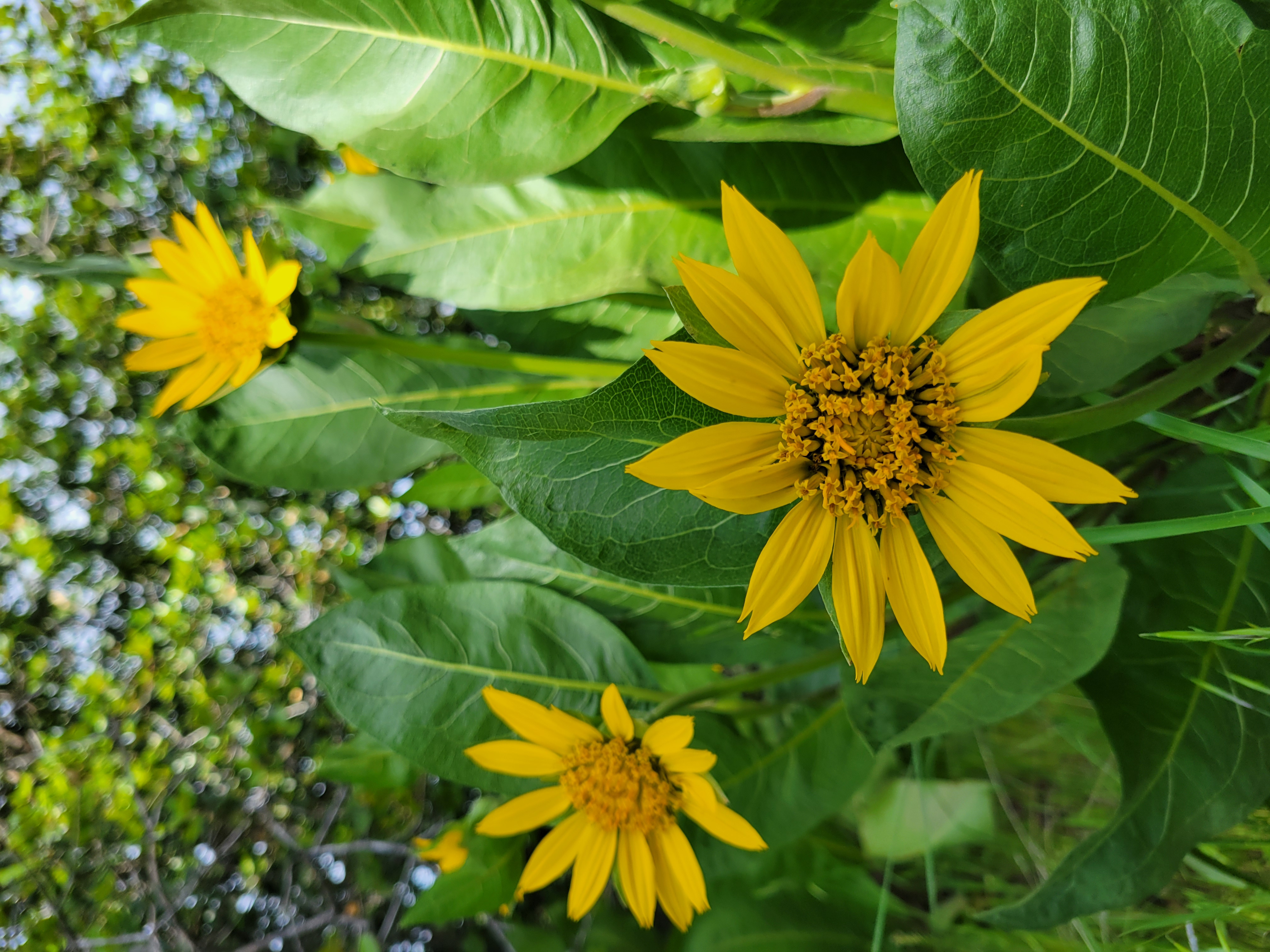
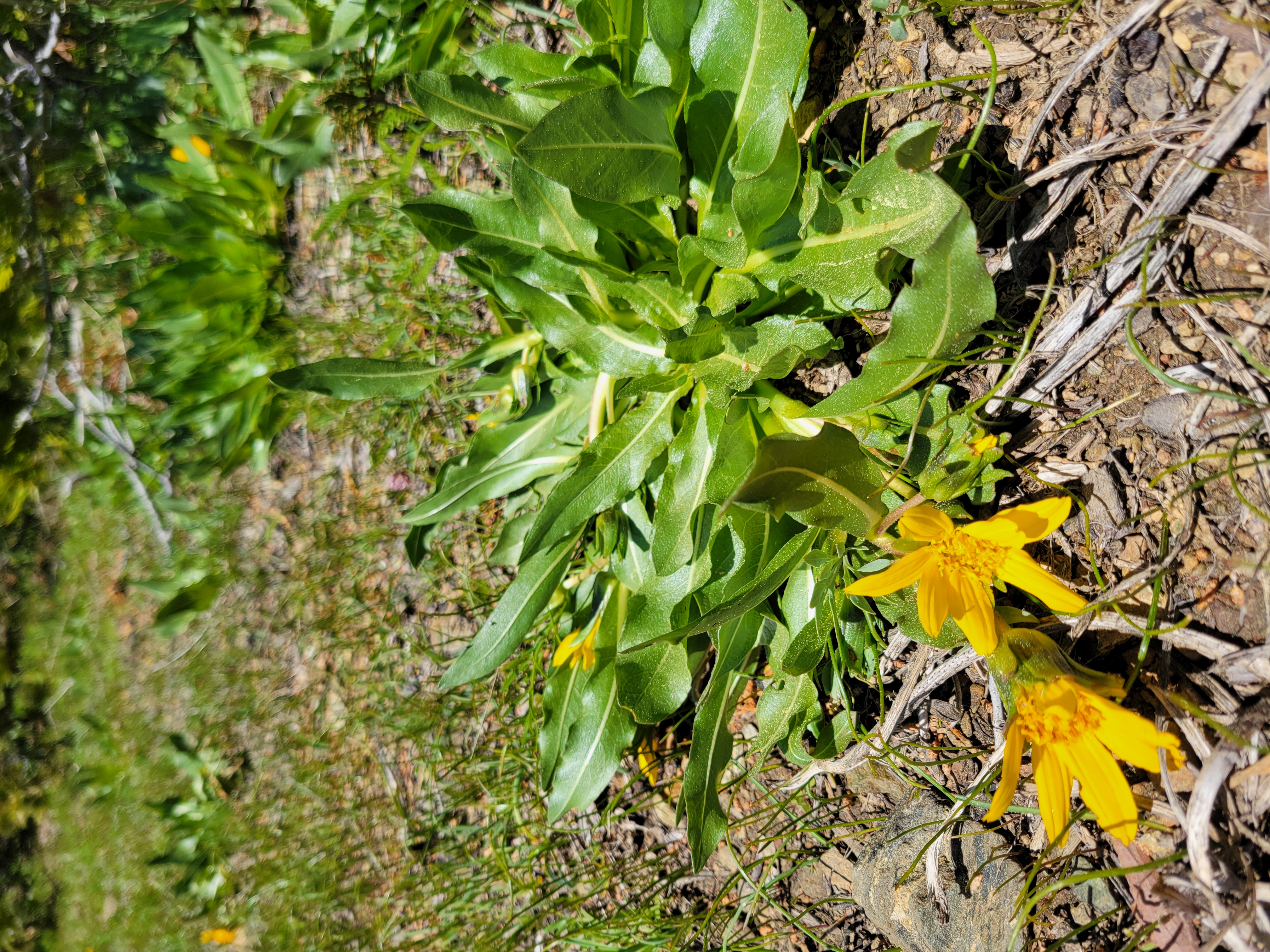
Kiana Abel, Public Affairs Specialist, reported continued growth and strong engagement across TRRP’s public outreach platforms. The TRRP Facebook page surpassed 2,040 followers, with flow‑related updates again generating the highest interaction. She highlighted the recent installation of the new interpretive sign at Upper Conner Creek, completed in partnership with the Yurok Tribe Construction Corporation, and noted encouraging signs of native species using the restored floodplain.
Kiana reviewed recent issues of The River Riffle, which featured contributions from staff and partners covering local mushrooms, wildlife observations at restoration sites, and program updates. She also described ongoing development of the 2025 TRRP Annual Report, which will present a 25‑year narrative of adaptive management, organized across major program tools and science areas.
She shared several website improvements completed this quarter, including expanded Science on Tap archives, updated sediment and wood augmentation pages reorganized with past projects to increase accessibility for the public. Seasonal outreach efforts included flow notifications, construction notices, and direct communication with landowners near project sites. Kiana noted that recent in‑person conversations with residents have been positive and constructive.
She concluded with a preview of the upcoming outreach calendar, including multiple Science on Tap presentations, community sustainability and plant‑exchange events, school field programs, and a river tour for Cal Poly Humboldt, scheduled in June. Additional coordination is underway for tours with the Salmonid Restoration Federation. These efforts continue to expand community understanding and visibility of TRRP’s work along the Trinity River.
Science Branch
Eric Peterson, the TRRP Science Coordinator, provided an update covering major science initiatives, modeling work, monitoring reviews, and project proposals.
Limiting Factors Analysis (LFA)
The LFA is one of TRRP’s most significant multi‑year science efforts. Eric explained that:
- TRRP is in Phase 2, where contractors are implementing the study plan.
- The contractor, Kramer Fish Sciences, will deliver a final report in August 2026.
- A June 23 lifecycle model workshop will train staff and work groups on using the population model.
- The LFA now includes intense collaboration between:
- Kramer’s modeling team
- TRRP’s Interdisciplinary Team (IDT)
- The Scientific Advisory Board (SAB)
Some challenges include:
- The lifecycle model cannot fully separate spring and fall Chinook juveniles due to limited data.
- The model will still integrate adult distinctions where possible.
A special TMC meeting on Aug. 20 is planned for presentation of the final LFA report.
Central Valley Operations Update (Elizabeth Hadley, Reclamation)
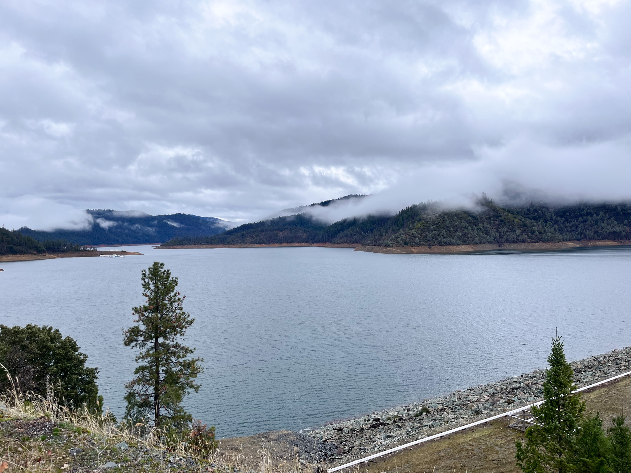
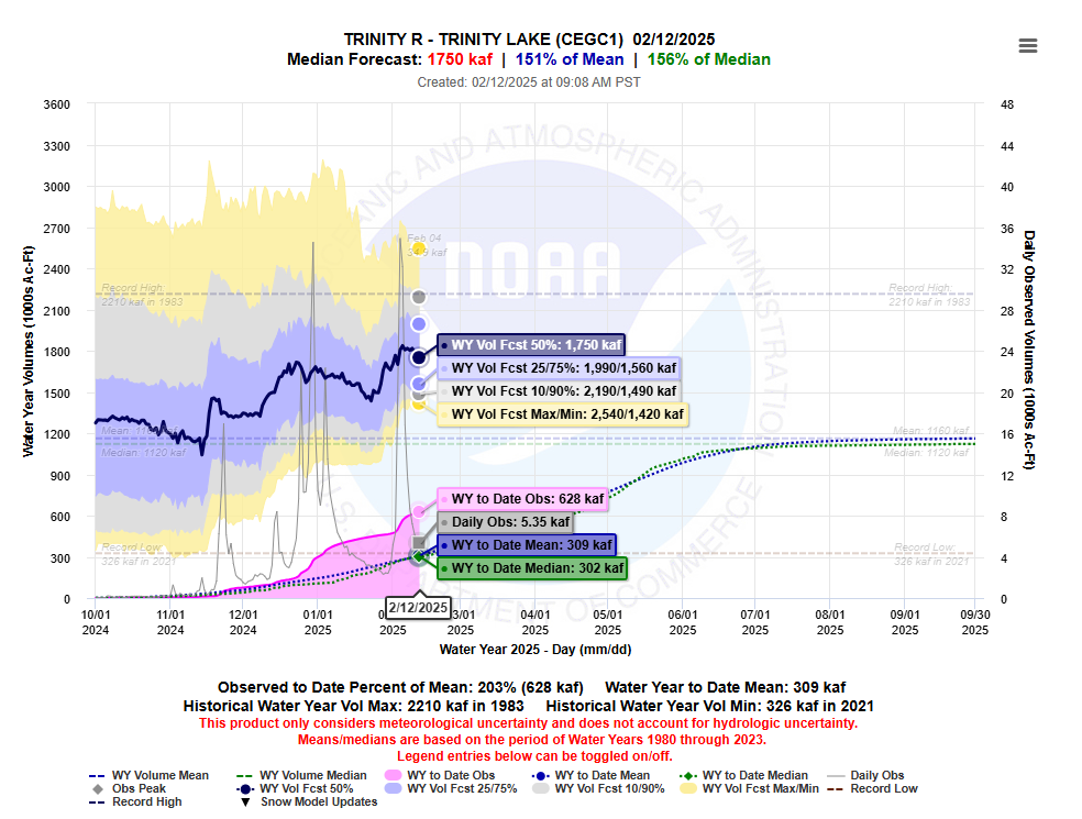
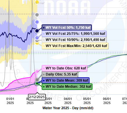
Elizabeth Hadley, reported that Trinity Reservoir is at 91% capacity, with a projected peak near 94% in April. Despite early‑season storms, Northern California’s snowpack remains well below average, and warm temperatures are expected to produce only modest runoff. As a result, the CVP will rely more heavily on stored water through the spring and summer.
Hydropower operations continue to face constraints. Trinity Powerplant Unit 1 has completed its scheduled maintenance, while Unit 2 will be offline from November through early March. At Spring Creek Powerplant, one unit remains in extended overhaul until late this year.
Looking ahead, Elizabeth noted that a division‑wide transformer replacement program is planned for 2029–2031, requiring close coordination with TRRP to avoid conflicts with environmental flow needs. Workforce shortages also persist, though hiring is underway for plant mechanics and an electrical program manager, with additional recruitments expected later this year.
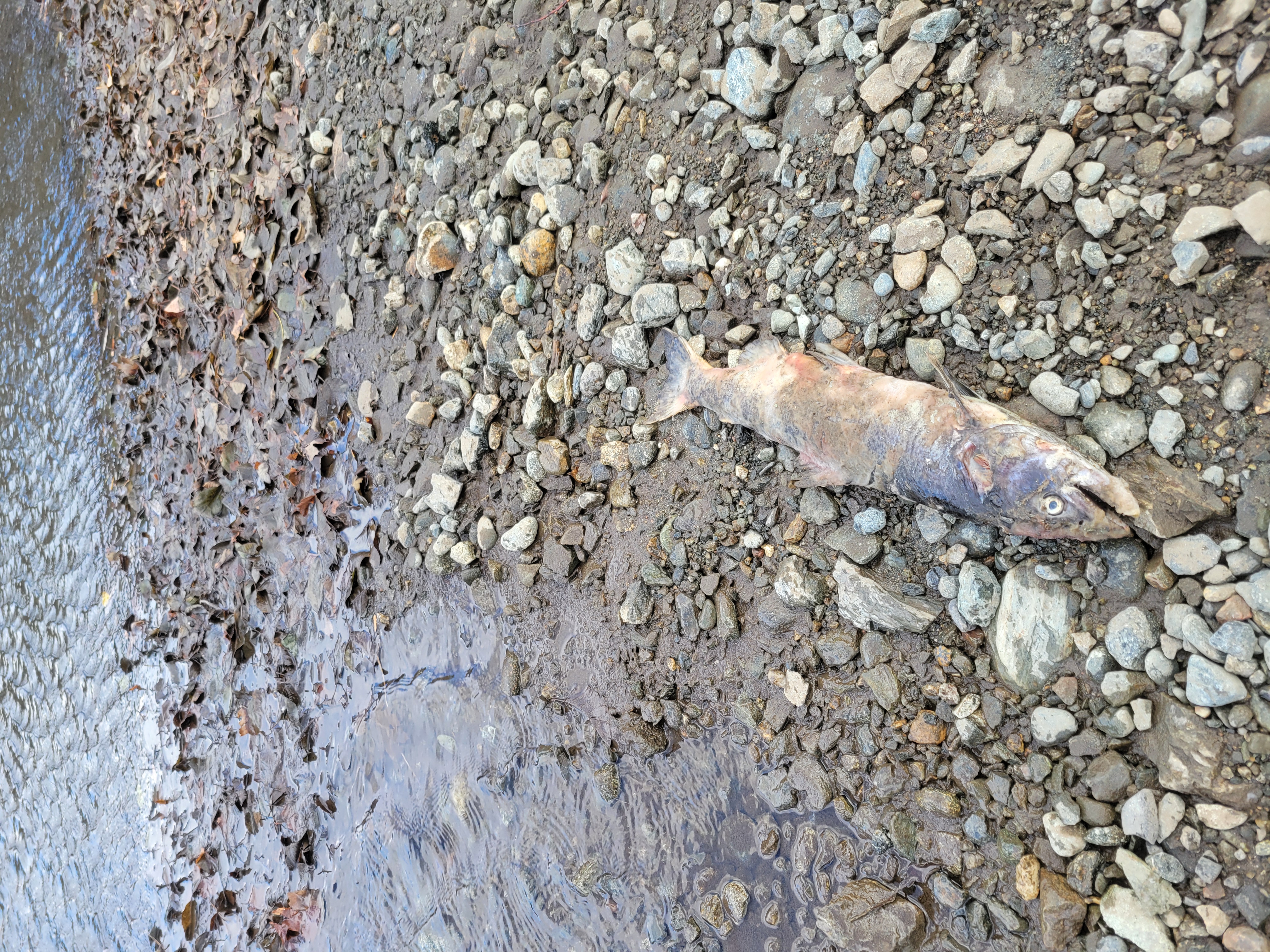
Trinity River Hatchery Update – (Derek Rupert, Reclamation)
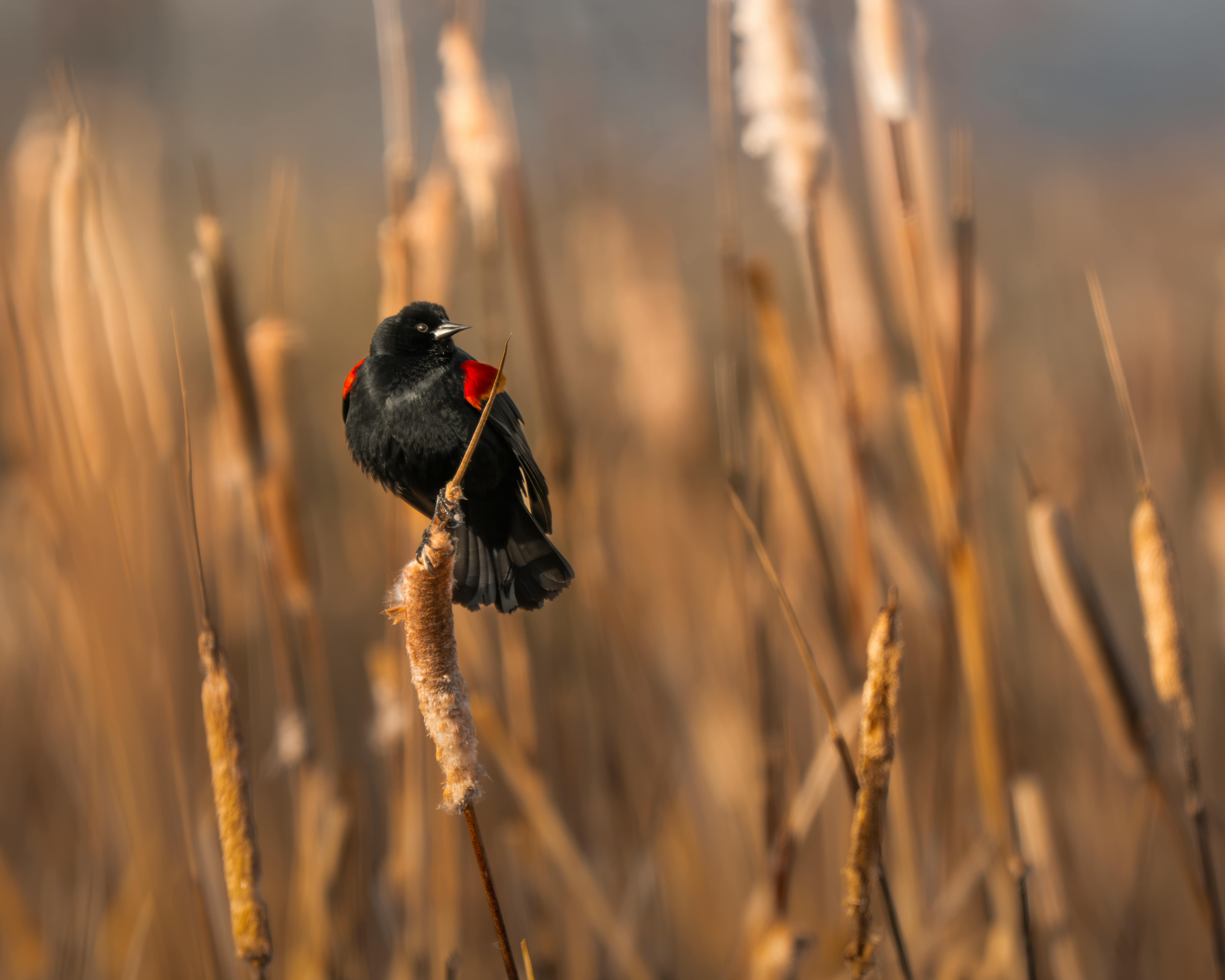
The hatchery report noted that spring and fall Chinook and steelhead production targets are on track to be met this season. Coho salmon, however, returned in very low numbers, limiting the number of young fish that could be produced for the coming year.
A major focus of the update was the hatchery modernization project. Staff recently visited modern facilities in Idaho and Washington to gather ideas for the Trinity River Hatchery redesign. The updated facility is expected to include new adult holding ponds, a streamlined spawning building, improved water‑quality screening, updated incubation areas, and welcoming visitor spaces such as viewing windows and educational areas. The design package is expected this spring, with construction projected to begin in late 2026, depending on funding. Additional support will be needed to fully realize the modernization vision, including upgrades that are not yet covered by existing budgets.
Hatchery Integration Discussion – (Mike Orcutt & George Kausky Hoopa Valley Tribal Fisheries)
A joint discussion led by tribal representatives highlighted the need to better integrate hatchery operations with habitat restoration and fisheries management. Because each of these areas—habitat, hatchery, and harvest—tends to operate within its own system, the presenters emphasized that stronger coordination could improve salmon recovery.
Topics included the benefits of using more natural‑origin fish in hatchery broodstock, strategies for reducing domestication effects in hatchery fish, and how release timing and marking practices can shape downstream outcomes. Participants also discussed the importance of strengthening basin‑wide coordination and ensuring tribal co‑management remains central to future decision‑making.
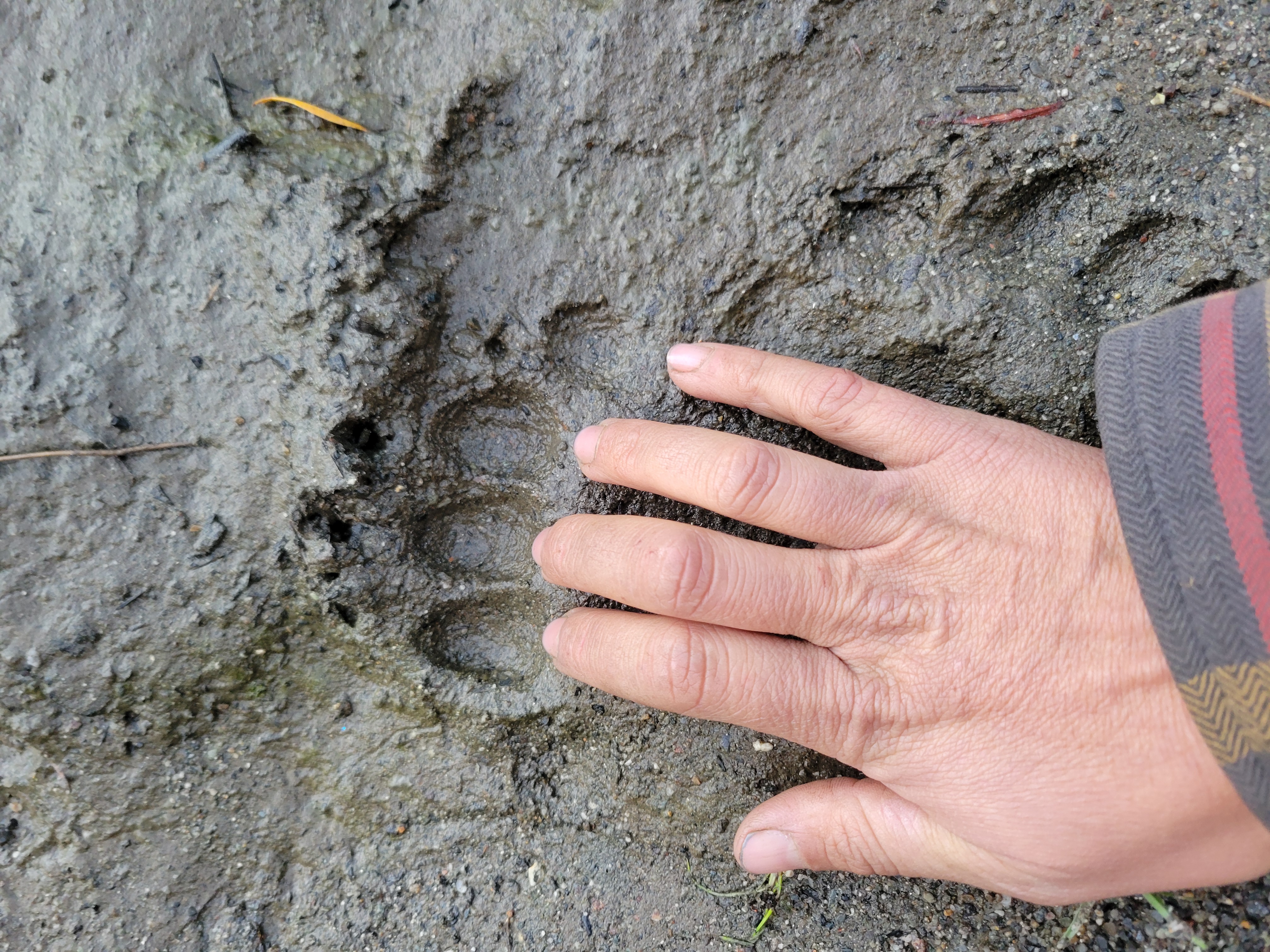
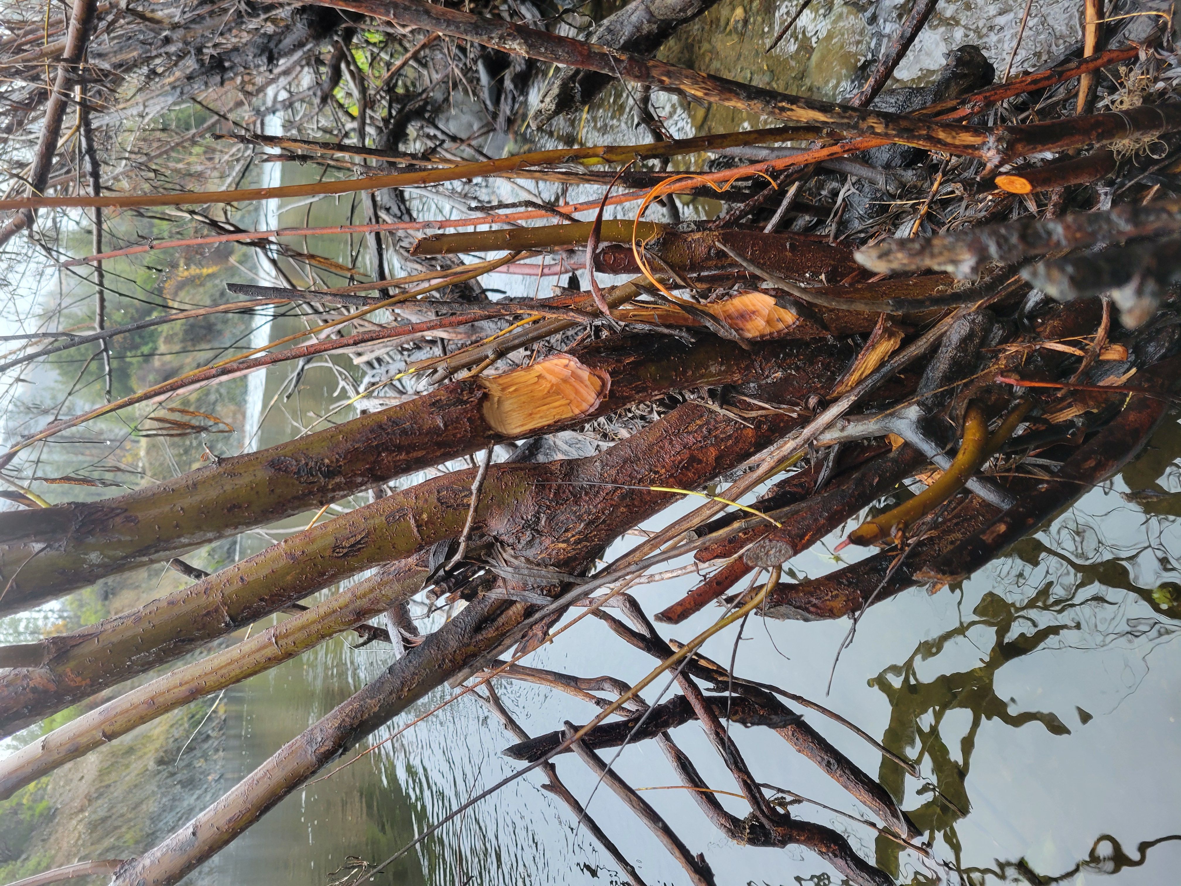
Large Wood Implementation, Monitoring, and Management – (Reuben Smit, USFWS)
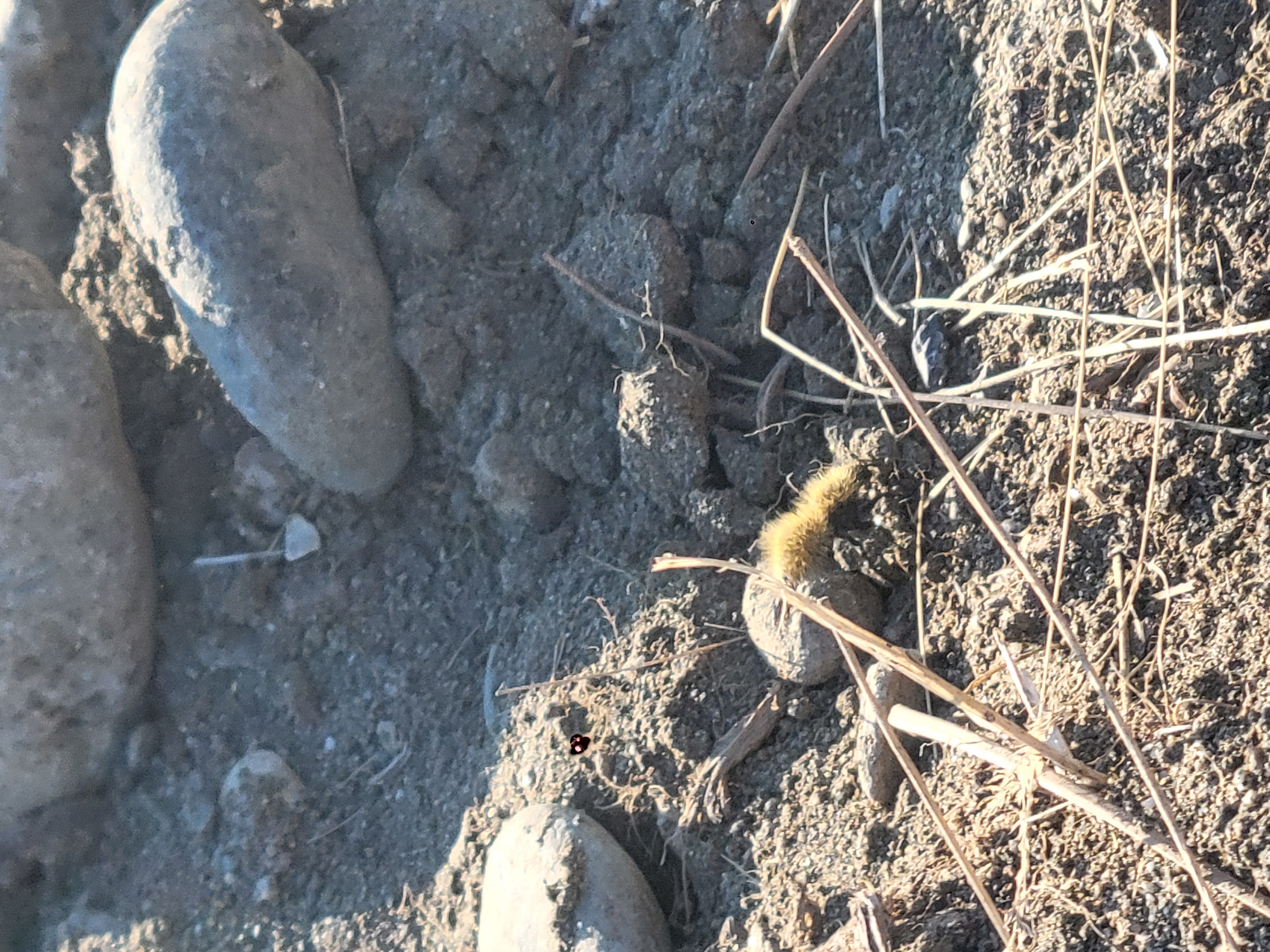
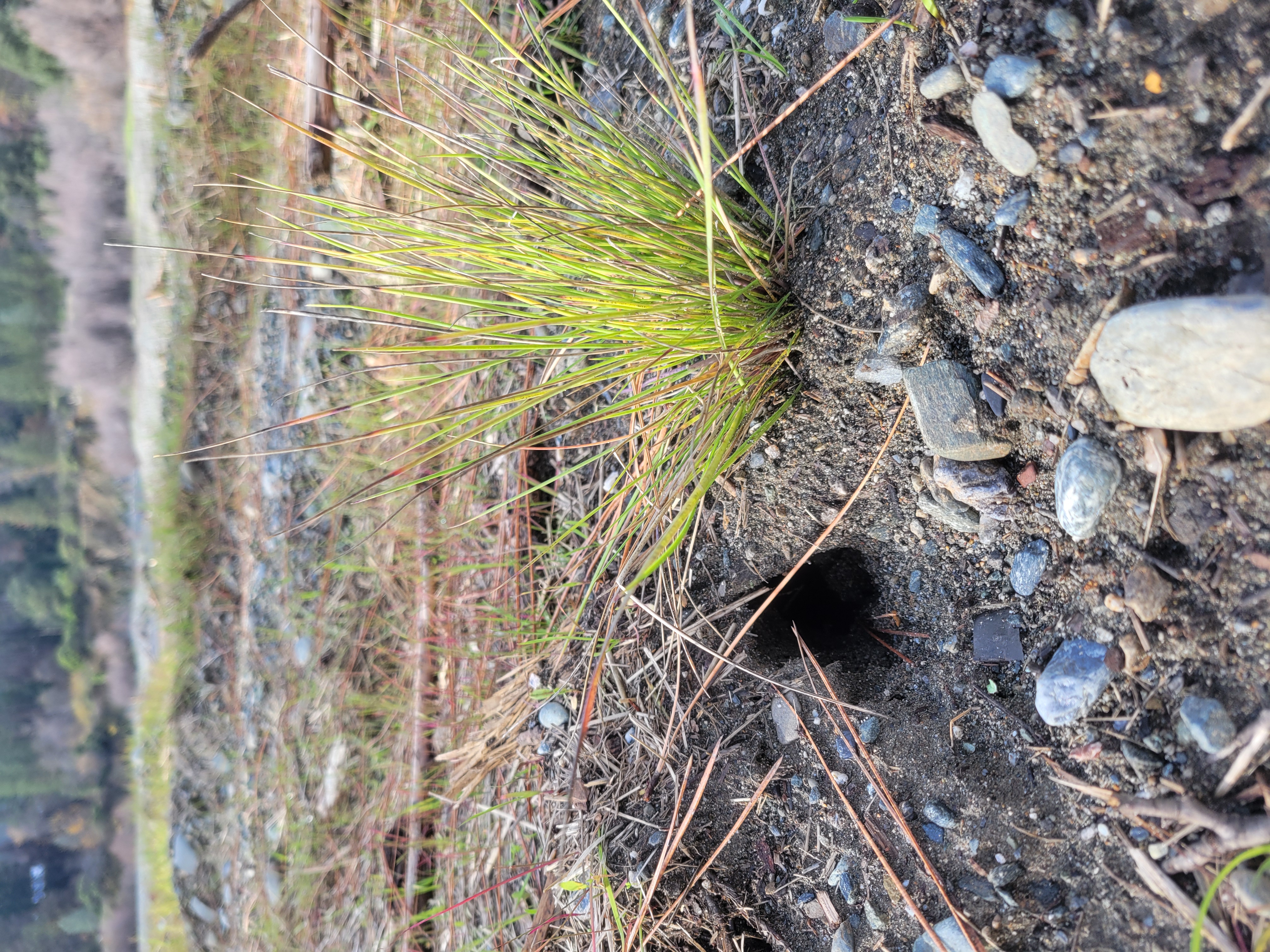
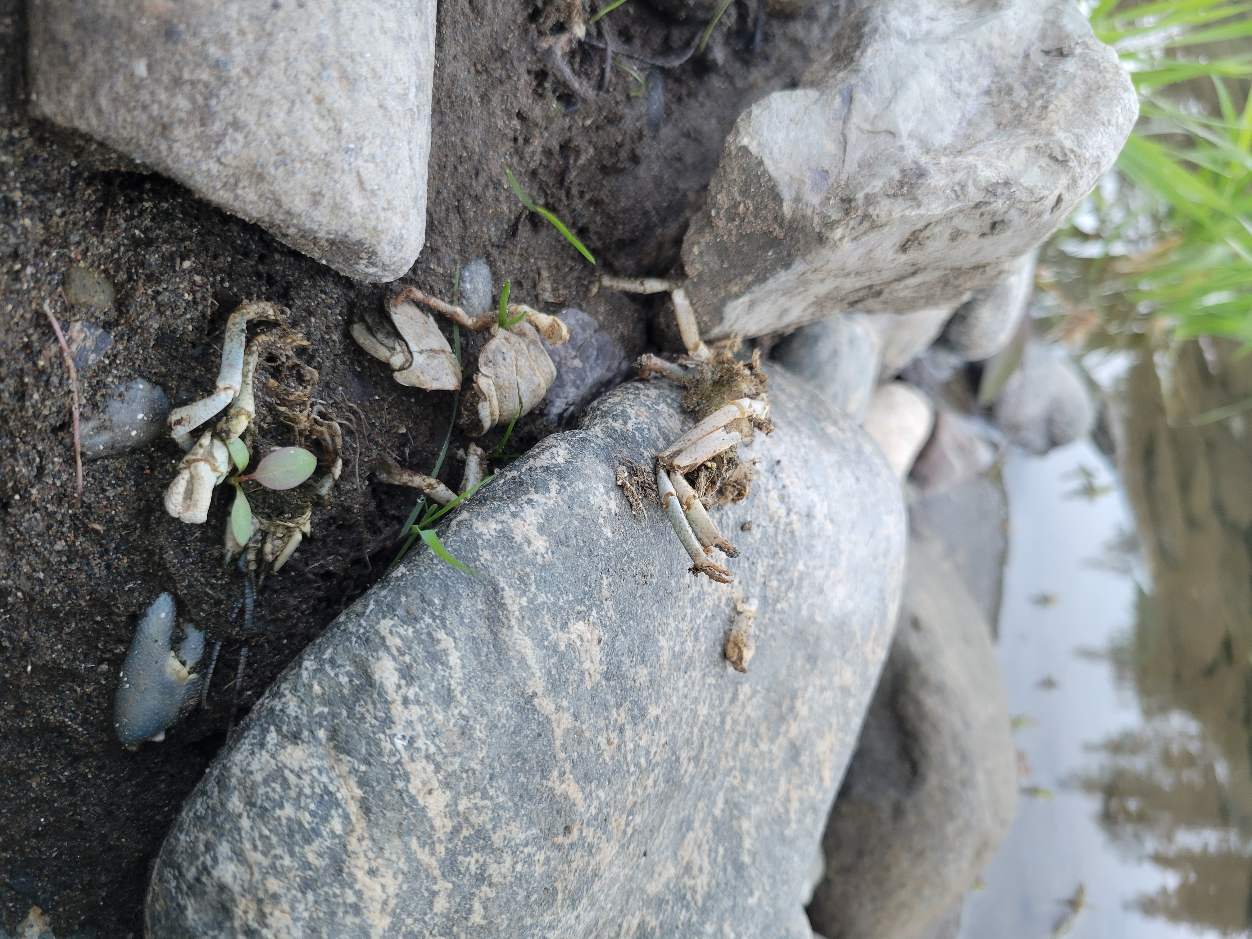
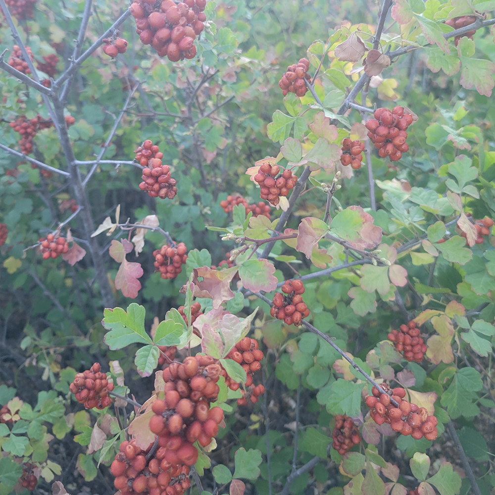
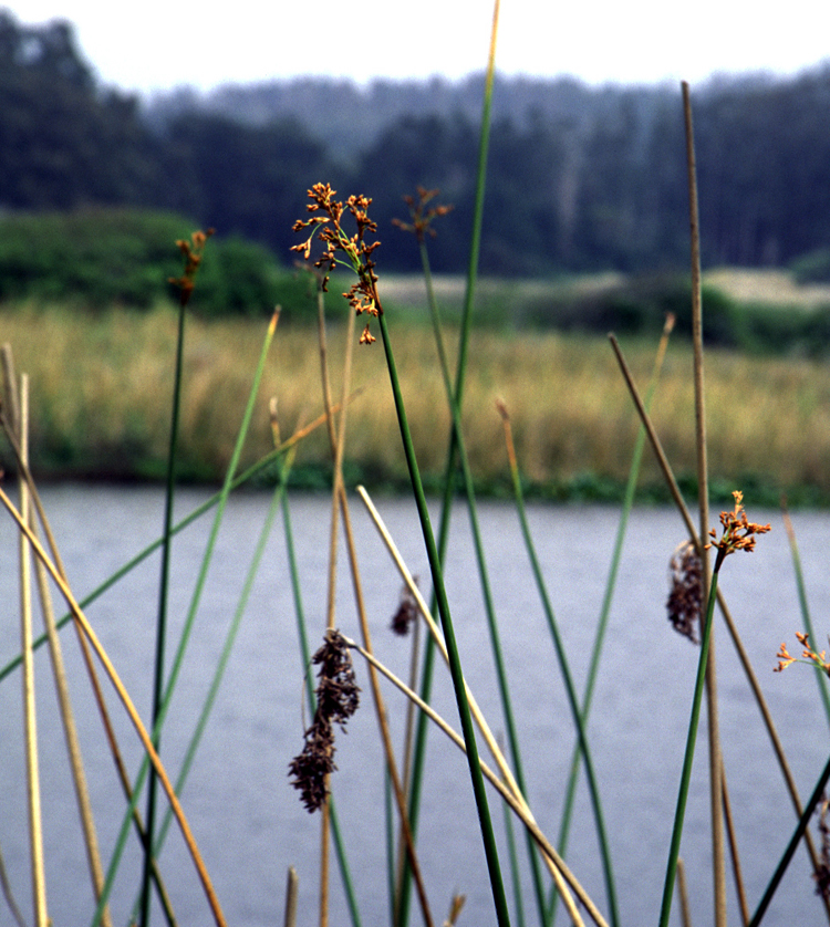
The presentation on large wood focused on how logs and natural woody material support healthy river ecosystems. Large wood helps form pools, create sheltered areas for young fish, and shape side channels. It also influences sediment movement and floodplain function.
Long‑term monitoring shows that placed wood often evolves into more complex structures over time. At some sites, pieces grow into full logjams, while at others, they move downstream and help seed new habitat features. Based on these findings, monitoring has shifted from counting individual pieces to assessing the volume, structure, and function of wood additions. The team will continue refining monitoring methods to better understand long‑term benefits.
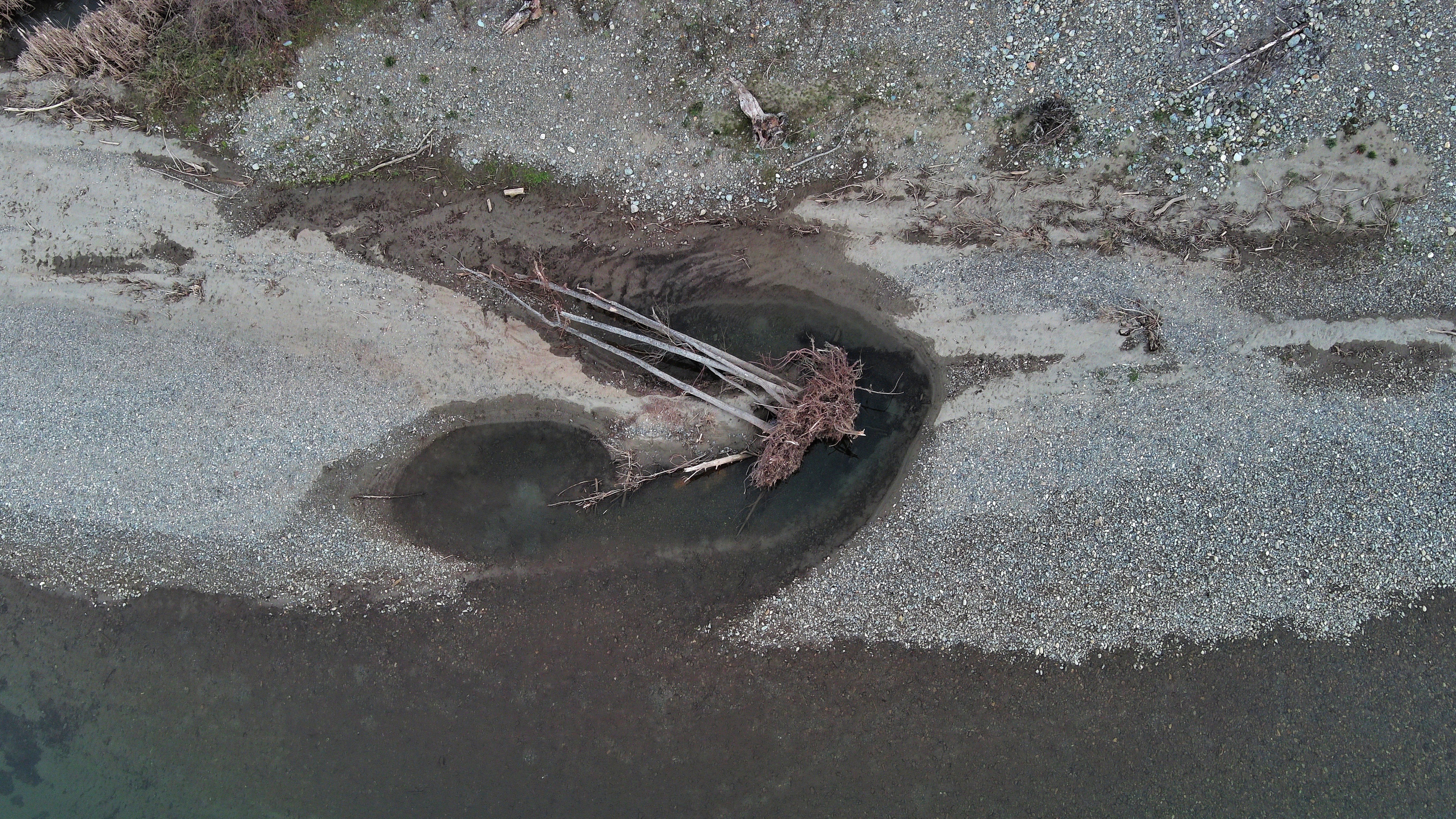
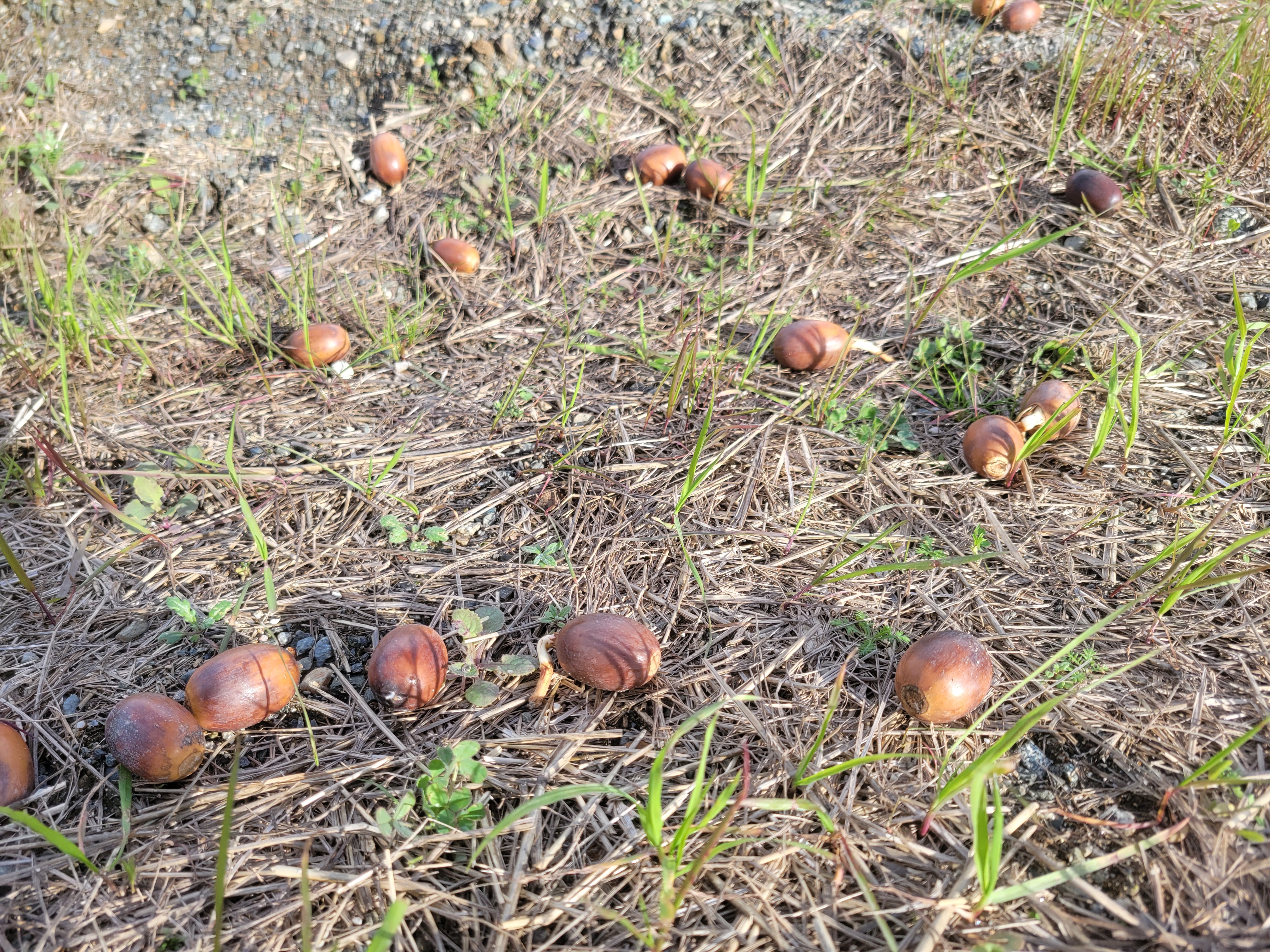
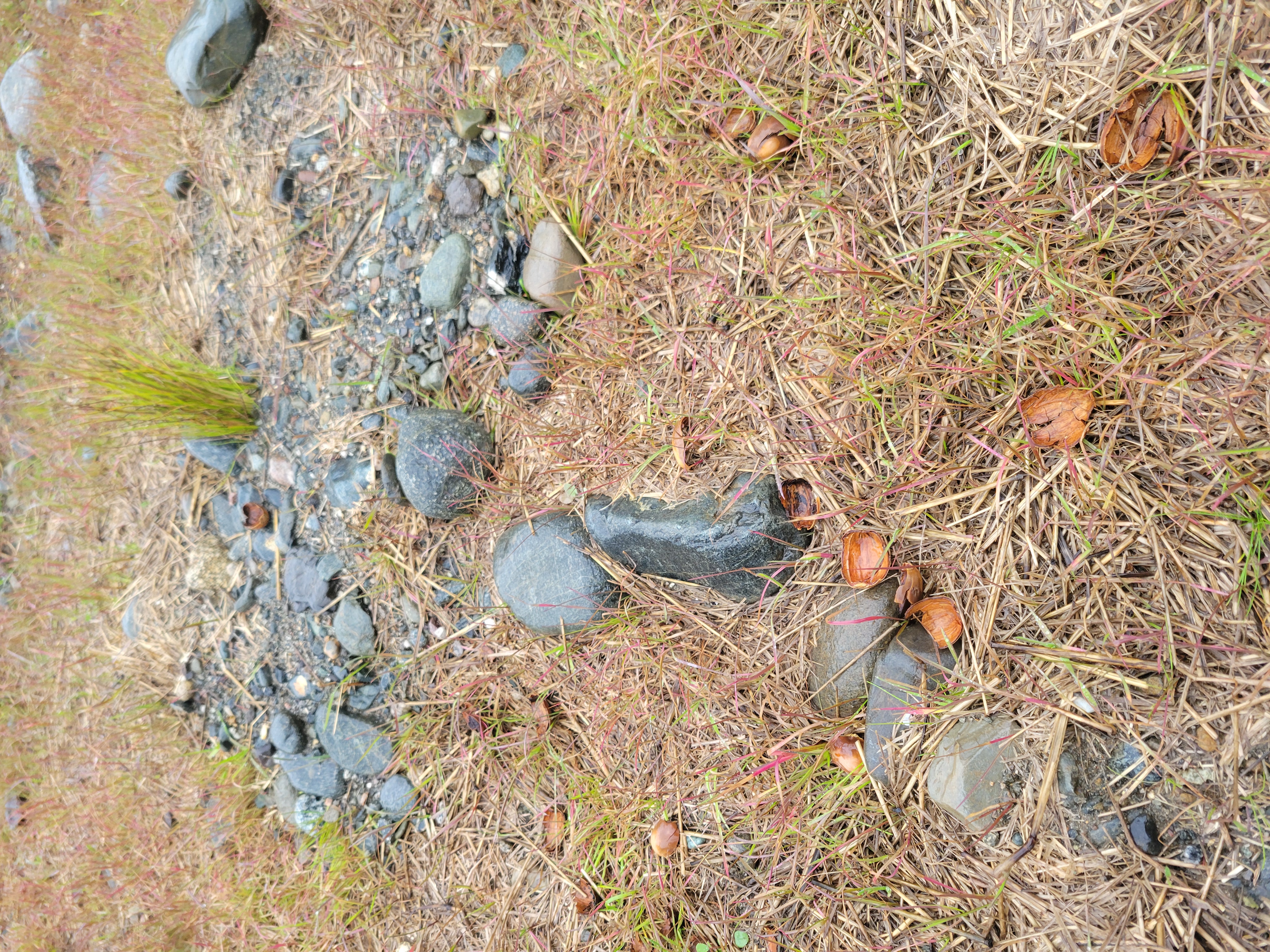
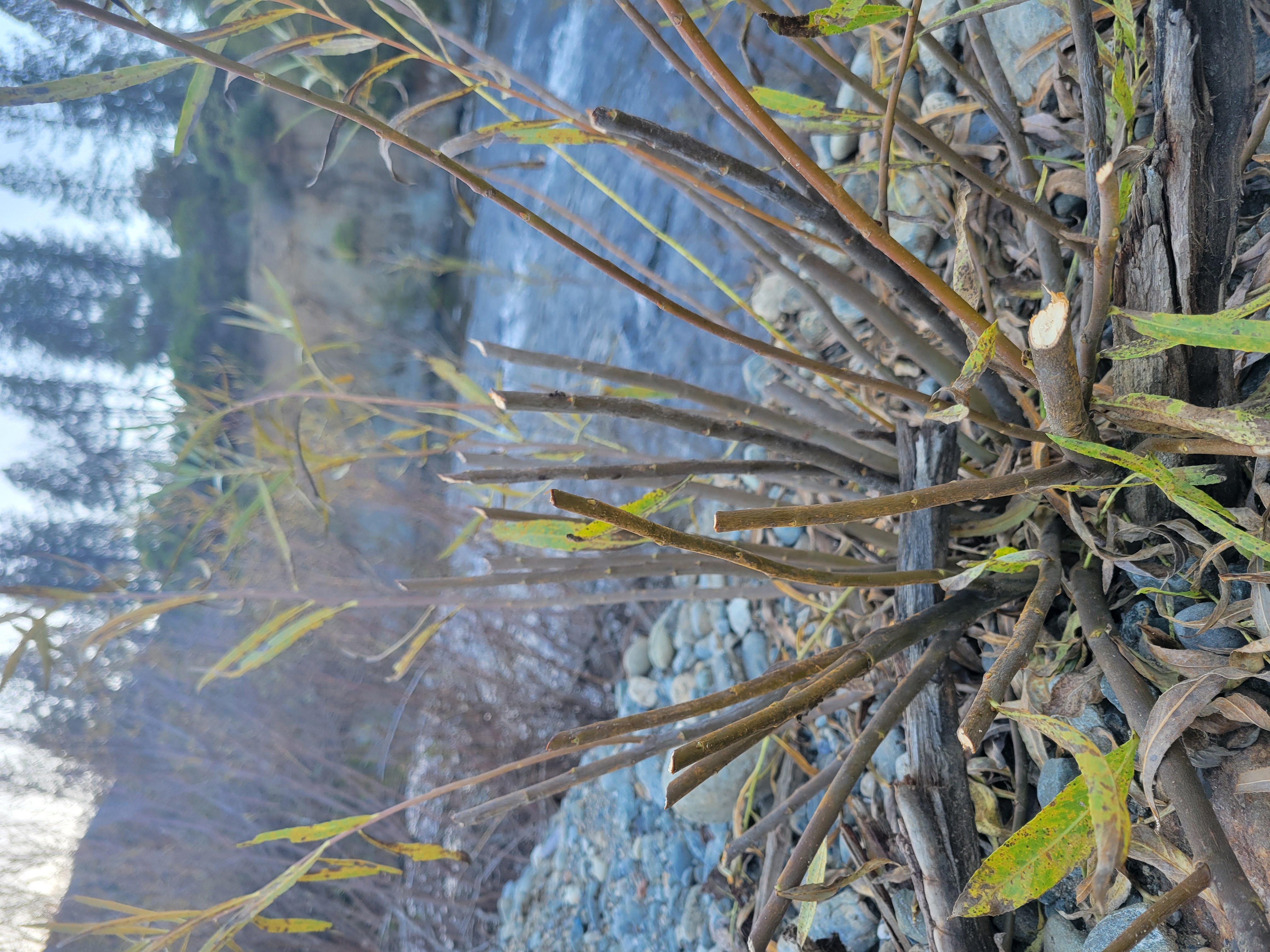
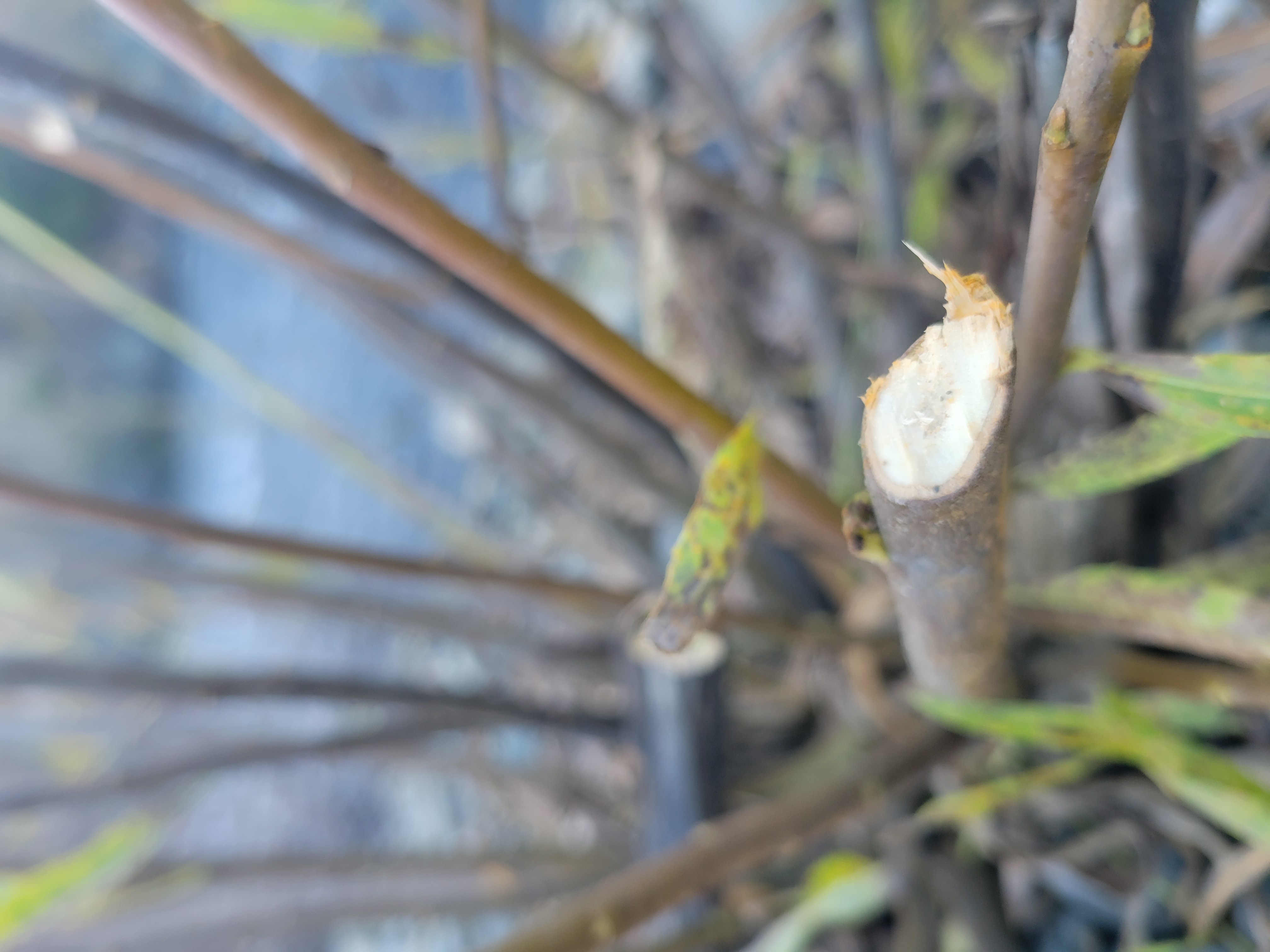
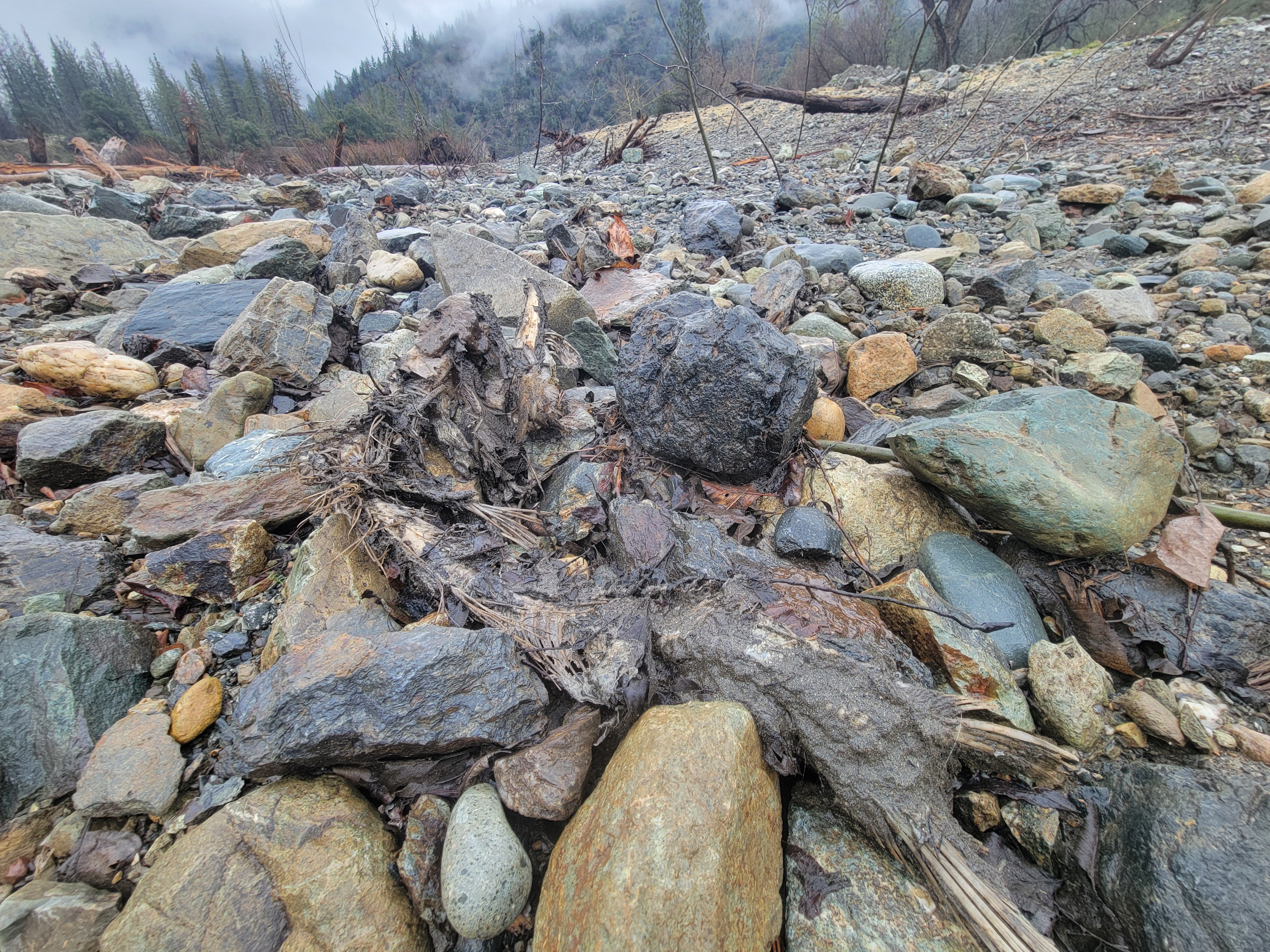
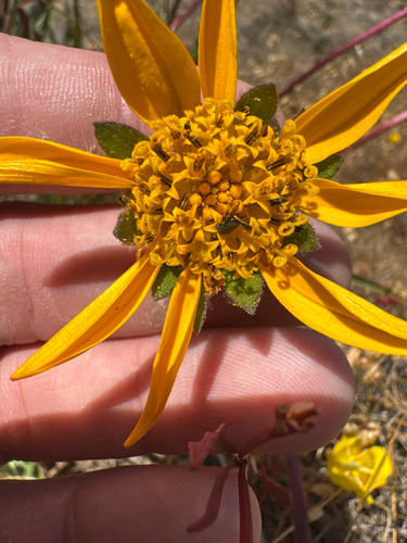
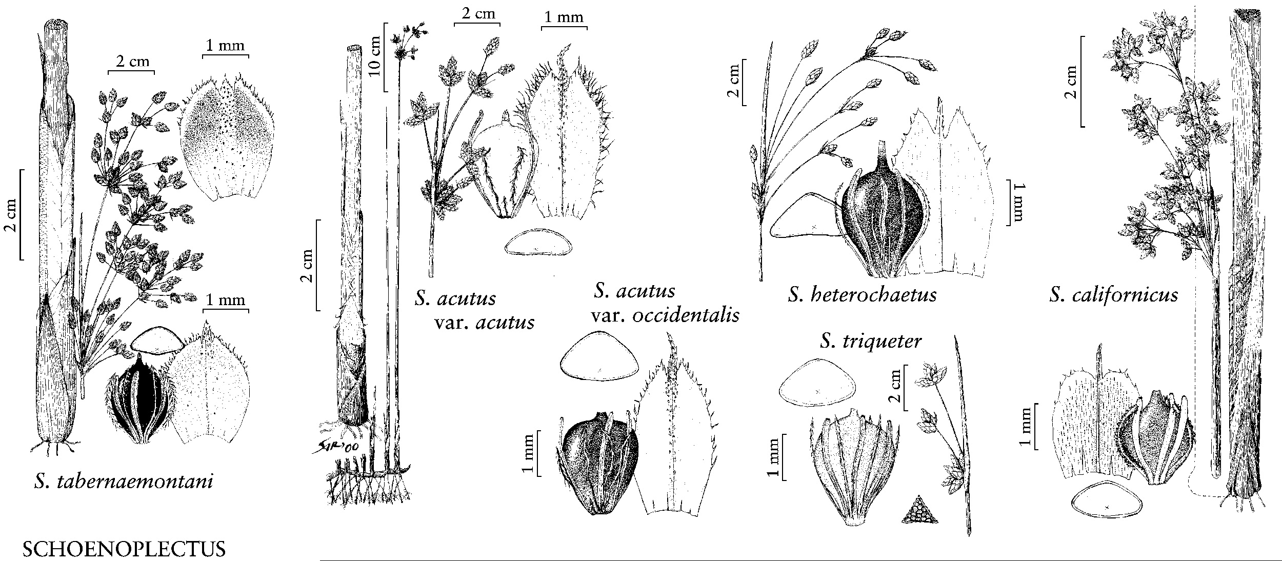
2026 Gravel Augmentation Plan (Smokey Pittman, Applied River Sciences/Hoopa Valley Tribal Fisheries)
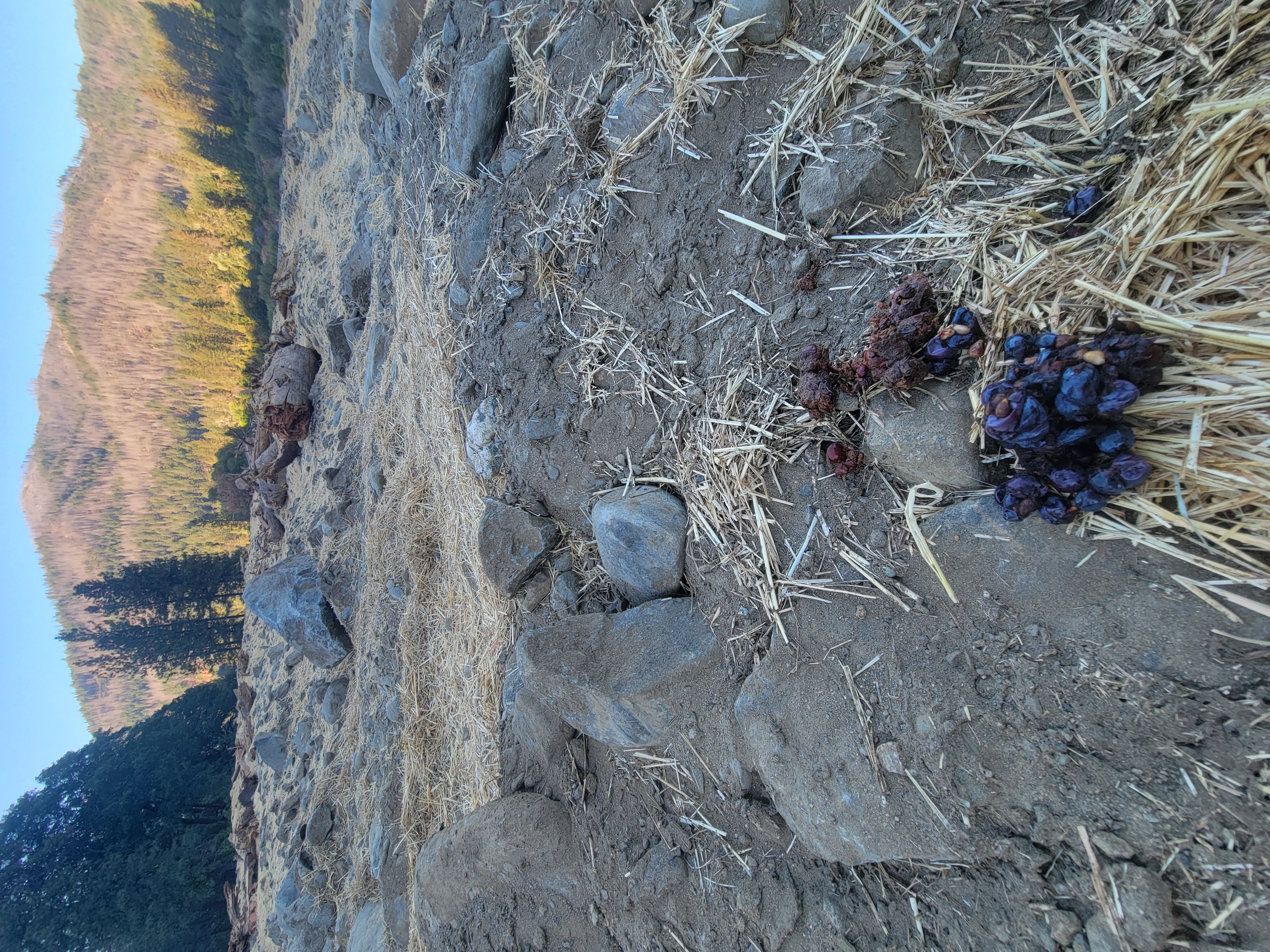
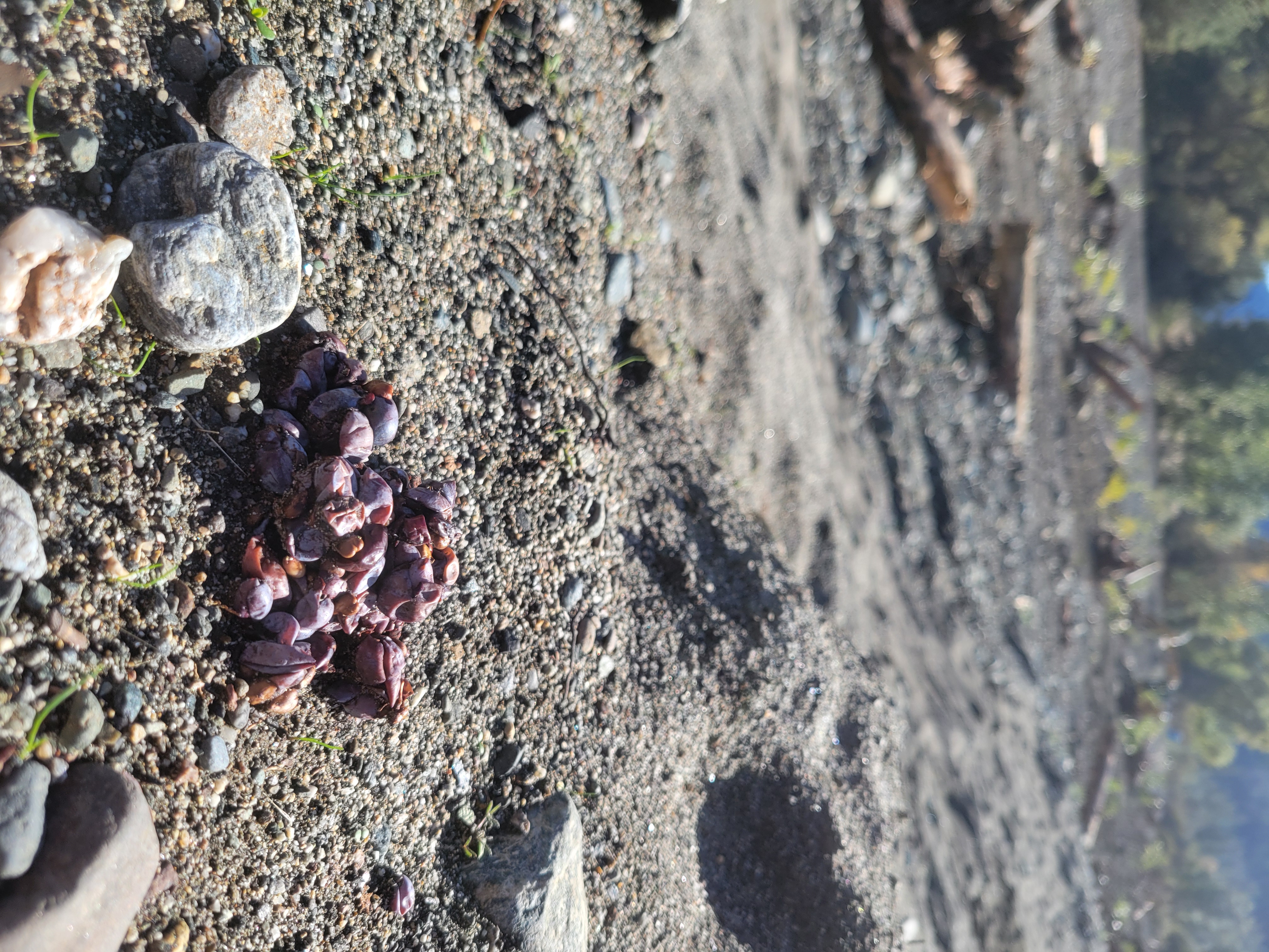
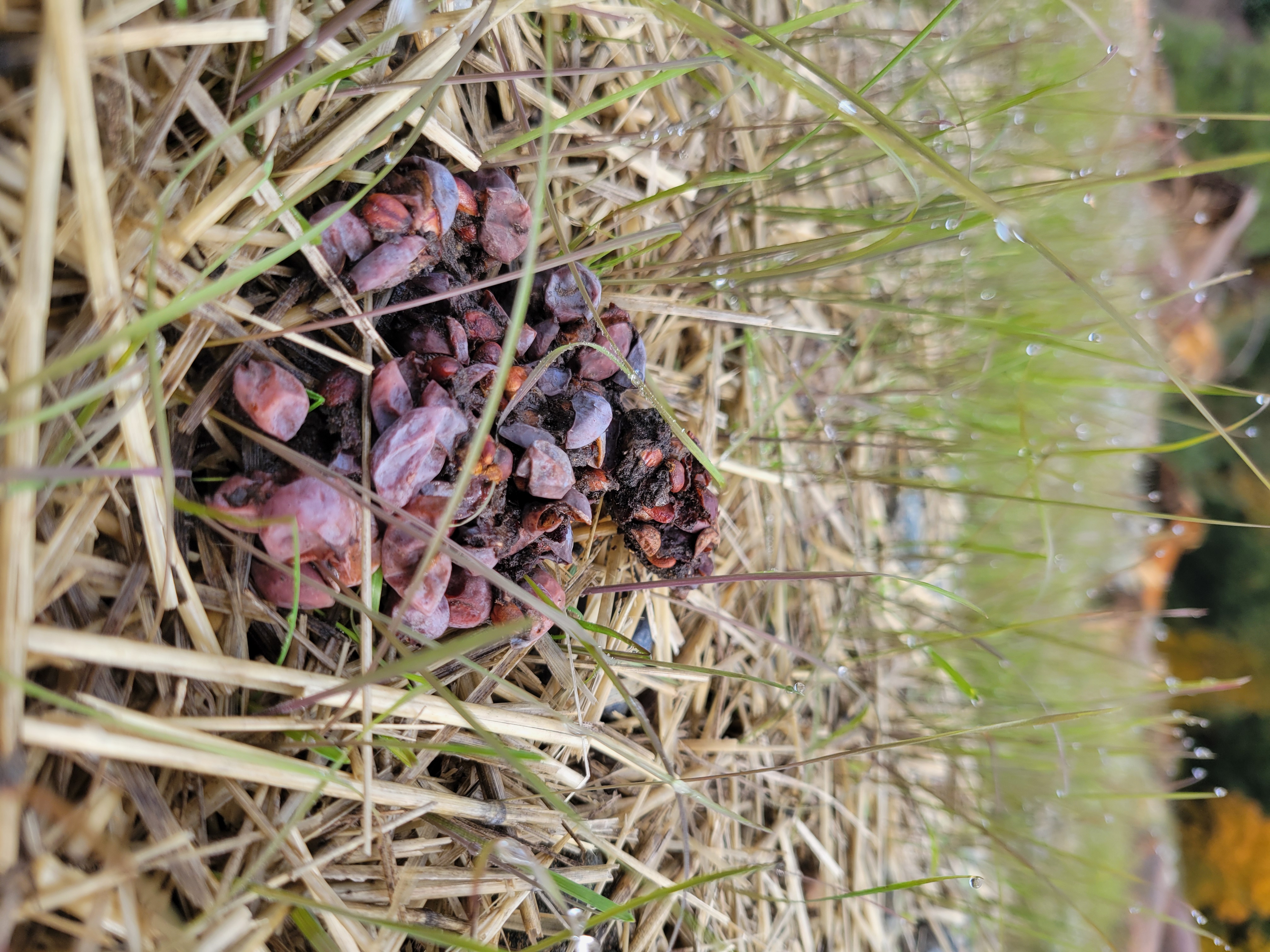
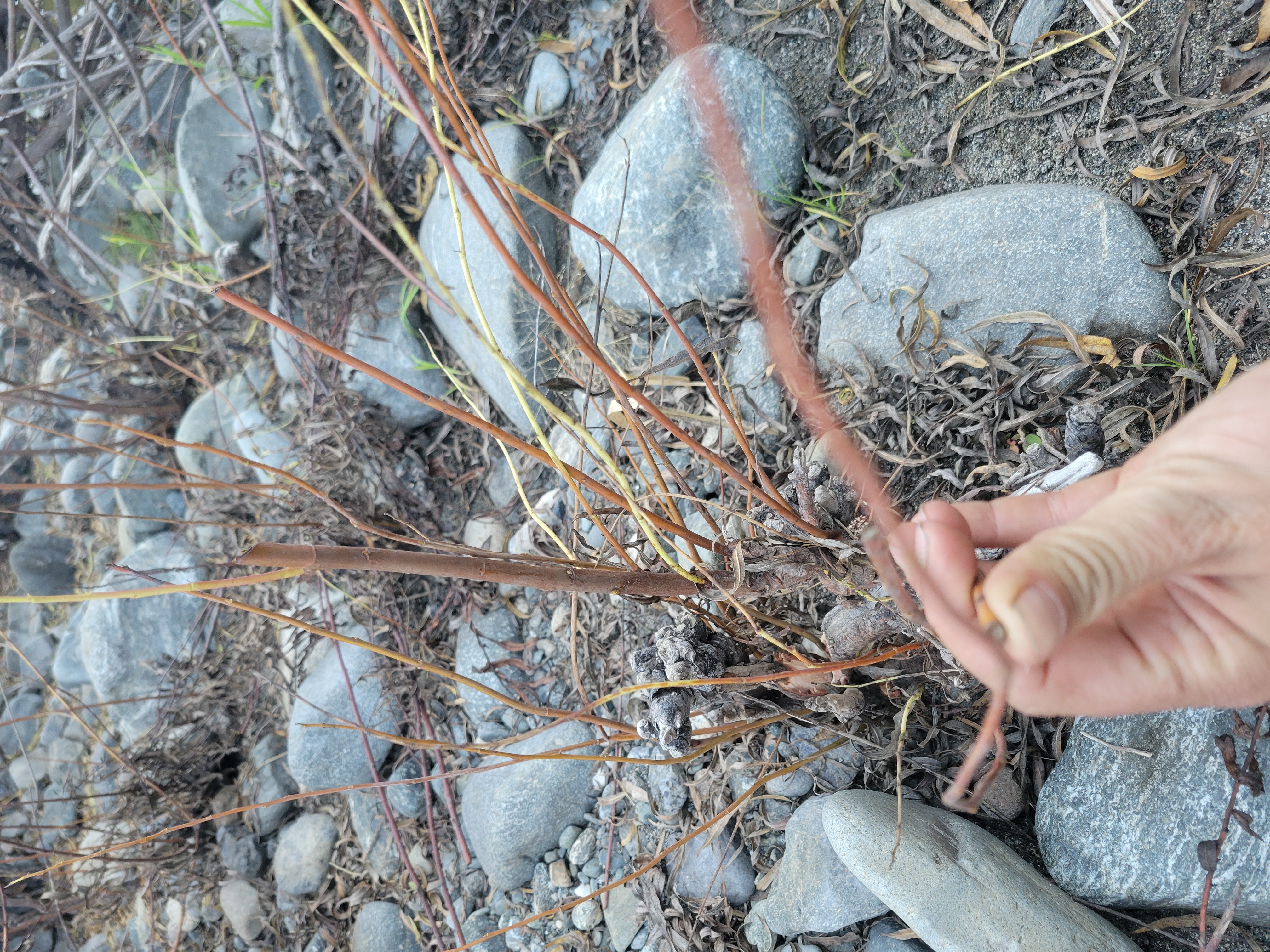
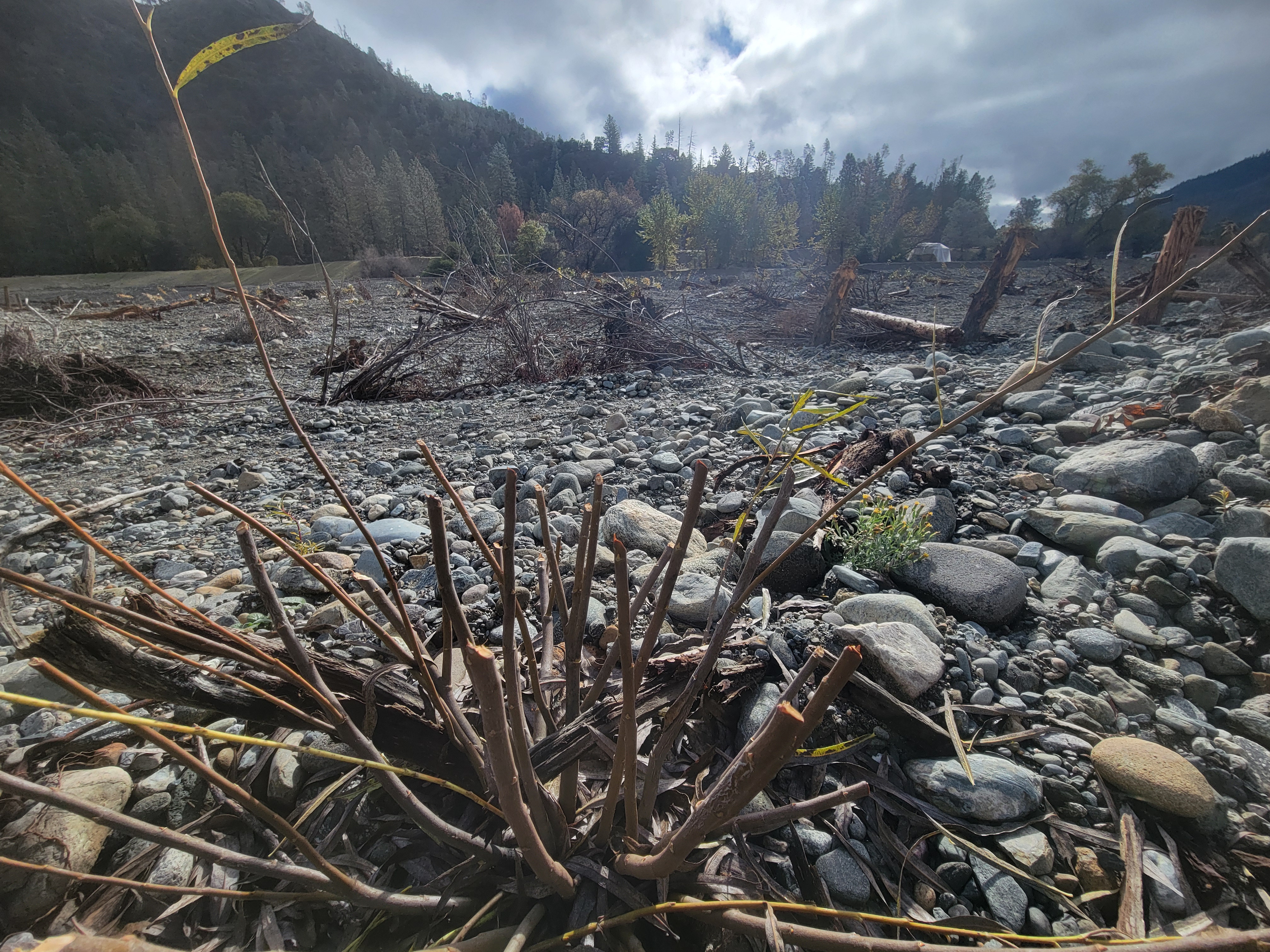
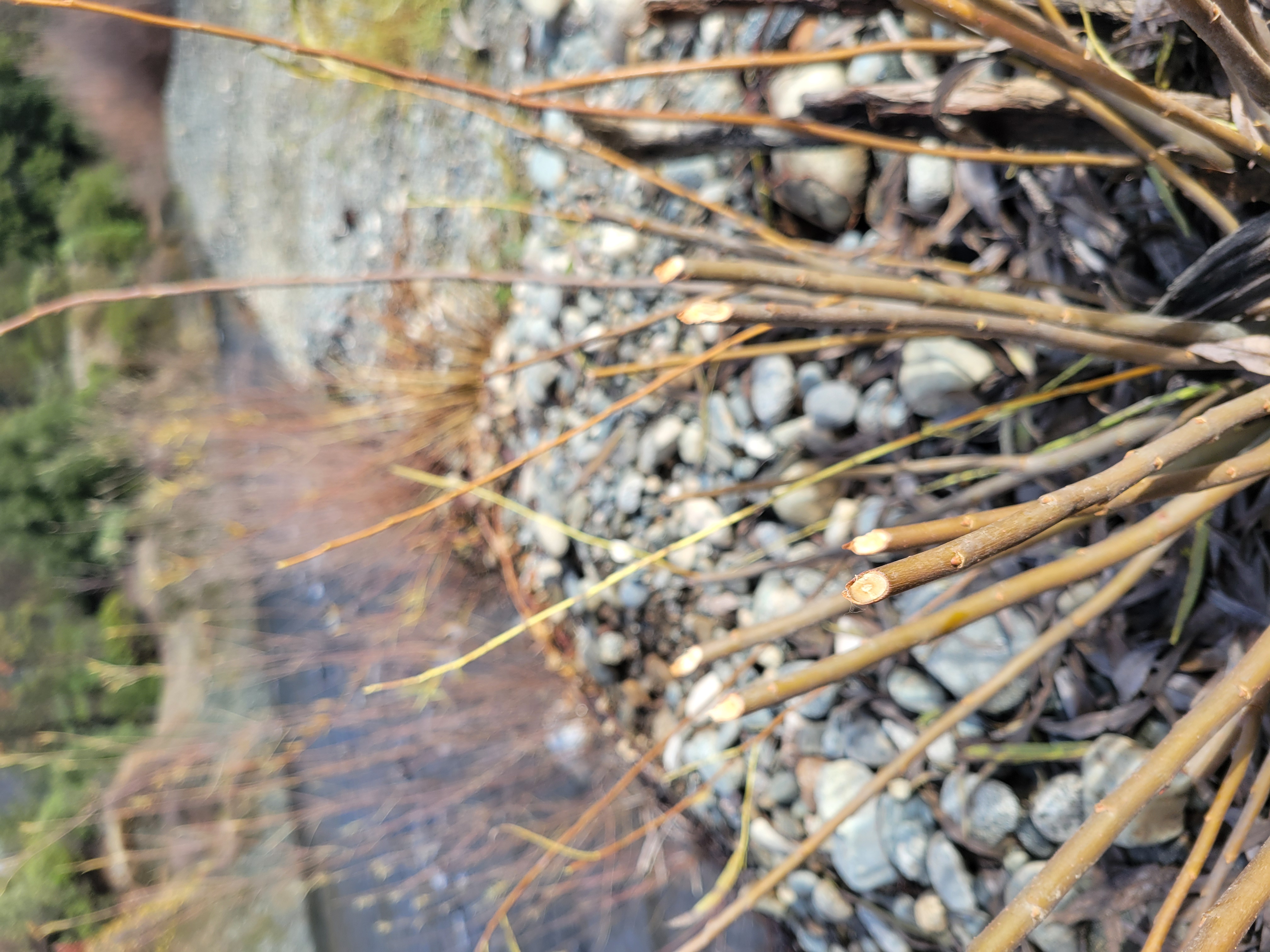
The gravel augmentation plan for 2026 focuses on supporting salmon spawning habitat in one of the most sediment‑starved reaches of the Trinity River. The Steel Bridge Day‑Use Area was selected for gravel placement after reviewing all existing sites. Crews will add approximately 2,000 cubic yards of spawning gravel to the inside bend of the river, where flows can shape it into riffles and bars.
In addition to gravel, several large logs made available through hazard‑tree removal near the site will be placed to help capture sediment and enhance habitat structure. The project will be monitored with drone surveys, tagged logs, and spawning‑season field observations. The Physical Work Group also plans to refine long‑term monitoring and objective‑setting for future gravel projects.
On the second day of the meeting, three major action items came before the TMC and all three passed with unanimous support. These included:
- The approval to fund two FY26 science proposals
- Advancing design for a critical fish‑passage project at Oregon Gulch in Junction City, Ca.
- Selecting the 2026 spring flow hydrograph under the Program’s environmental flow management
Each decision is summarized below
FY26 Research Proposals (Eric Peterson, TRRP)
The Council first considered two science proposals that had been deferred from June due to budget uncertainty. With the FY26 appropriations now clarified, the TMC moved forward on both:
- S3 Fish Production Model Upgrade
- Led by USGS, this project enhances the juvenile salmon growth model by incorporating variable food consumption, replacing the current single‑rate assumption. The upgrade will calibrate the model using foraging data and juvenile salmon stomach contents, making the tool more sensitive to real ecological conditions.
- Thermal Heterogeneity Study Using Pond Turtles
- The Hoopa Valley Tribe and Applied River Sciences will survey biological response to temperature variation using northwestern pond turtles as indicators. Turtles remain in microhabitats longer than salmon fry, offering a clearer signal of thermal benefits from channel rehabilitation work.
After robust discussion, including how non‑fish wildlife objectives fit within the program’s legal mandates, the TMC unanimously approved both proposals. Members noted that the studies align with adopted science plan priorities and will generate valuable insights for flows, sediment and wood augmentation and channel rehabilitation restoration tools.
Oregon Gulch Culvert Fish Passage Project (James Lee, TRRP)
The second decision centered on the long‑problematic culvert at Oregon Gulch on Sky Ranch Road. The culvert is a full barrier to salmon and steelhead and contributes to recurring road failures, yet past attempts to design a replacement stalled due to landowner concerns.
Following new commitments from Trinity County to assist with landowner coordination—as well as clarity that the County will not fund construction—the TMC unanimously approved funding for the design phase of a fish‑friendly replacement. Once a design and cost estimate are complete, TRRP and partner tribes will seek outside construction funding. If external funding cannot be secured, the project can be reconsidered through a future watershed prioritization process.
Members expressed optimism that a shovel‑ready design will create new opportunities for state, federal, or philanthropic funding to restore access to miles of potential habitat.
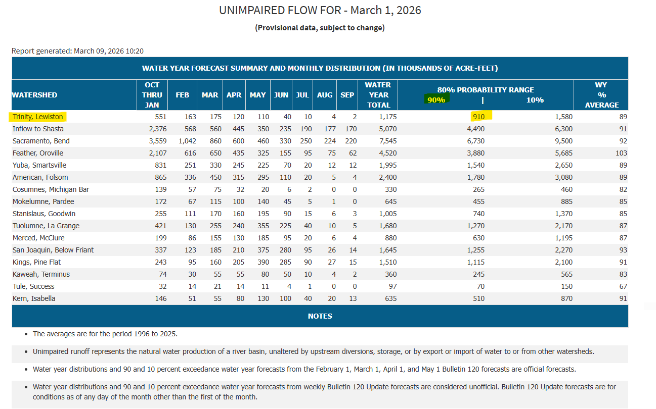
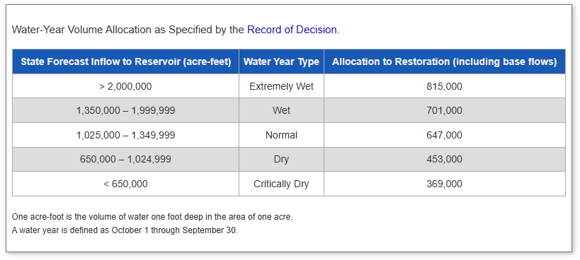
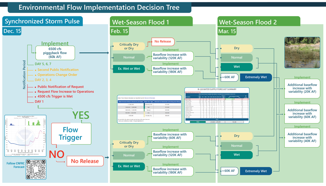
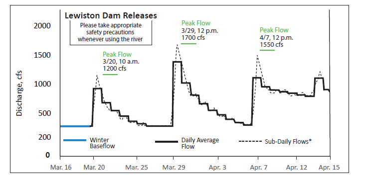
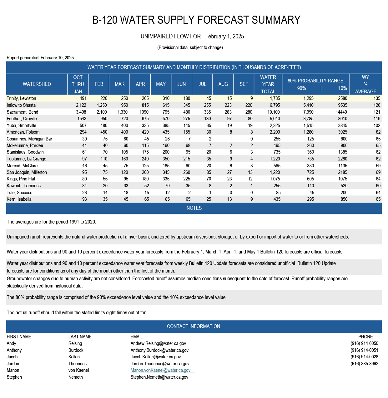
Hydrograph recommendation for the remainder of Water Year 2026 (Patrick Flynn, Trinity County)
This year marks the second cycle of the three‑year winter flow variability experiment. With both February and March B120 forecasts classified as “Dry”, the program implemented a 20,000 AF elevated baseflow beginning March 16.
For spring flows, the Flow Workgroup presented two sets of hydrographs for the TMC’s consideration:
- Set A: Emphasizes geomorphic benefit, taking advantage of the winter synchronization peak
- Set B: Emphasizes extended inundation for riparian seedling recruitment and amphibian needs
While fish models showed limited sensitivity between the options, non‑fish models—including cottonwood recruitment, foothill yellow‑legged frog habitat, and bedload transport—consistently favored Set A under both dry and normal April B120 conditions.
The TMC unanimously adopted Set A, with the appropriate variant triggered by the April B120 determination. Members also highlighted the importance of continued analysis of Safety‑of‑Dams releases, which influence winter flow dynamics and are being fully evaluated in Reclamation’s ongoing EIS.
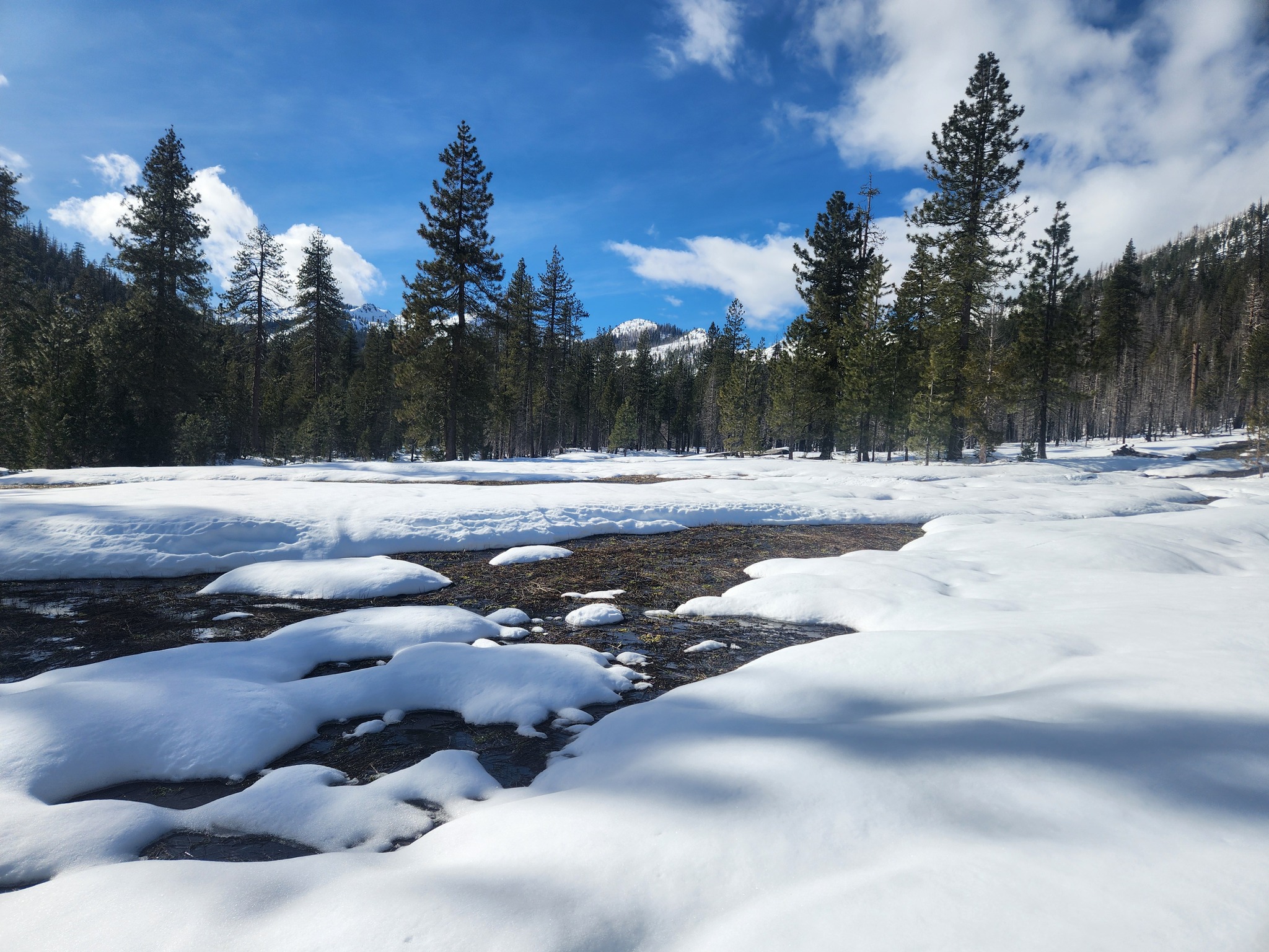
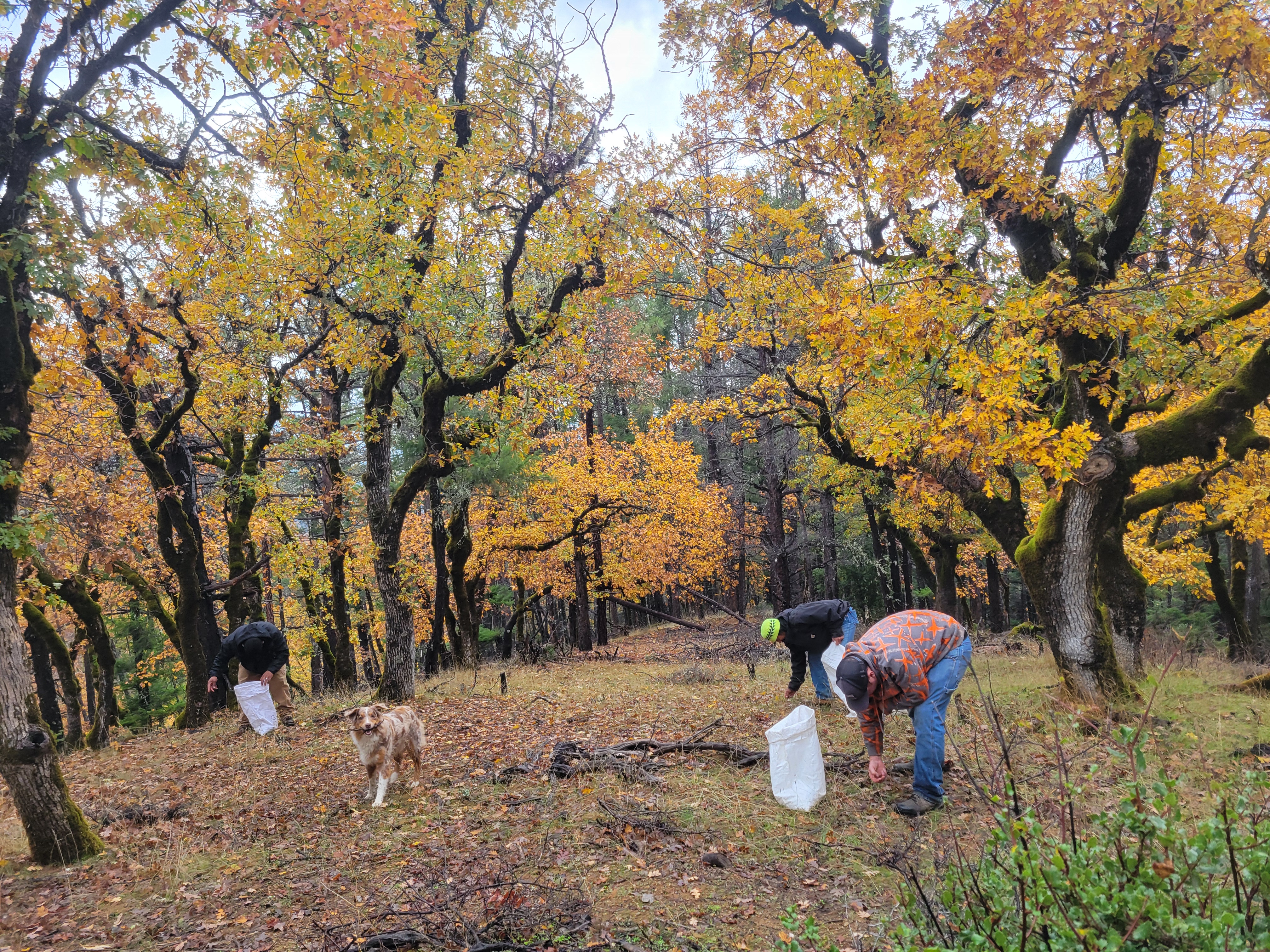
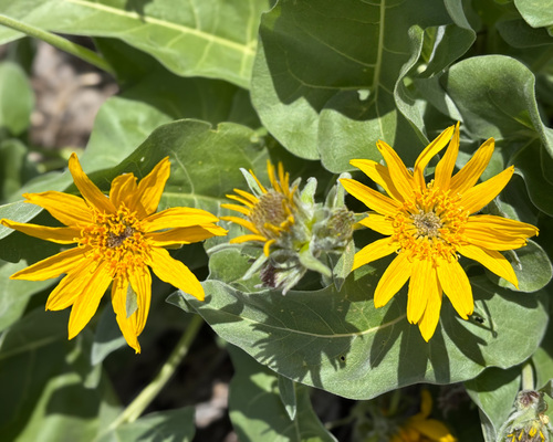
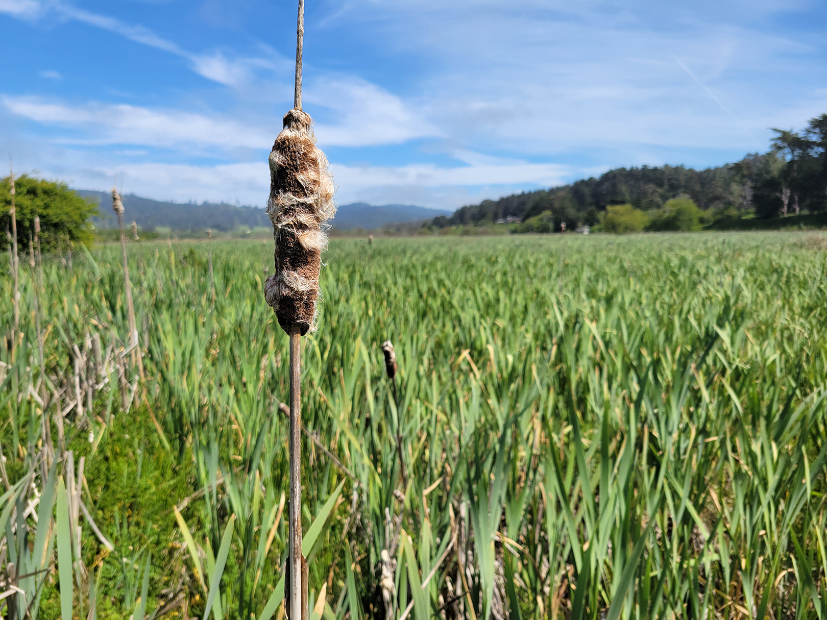
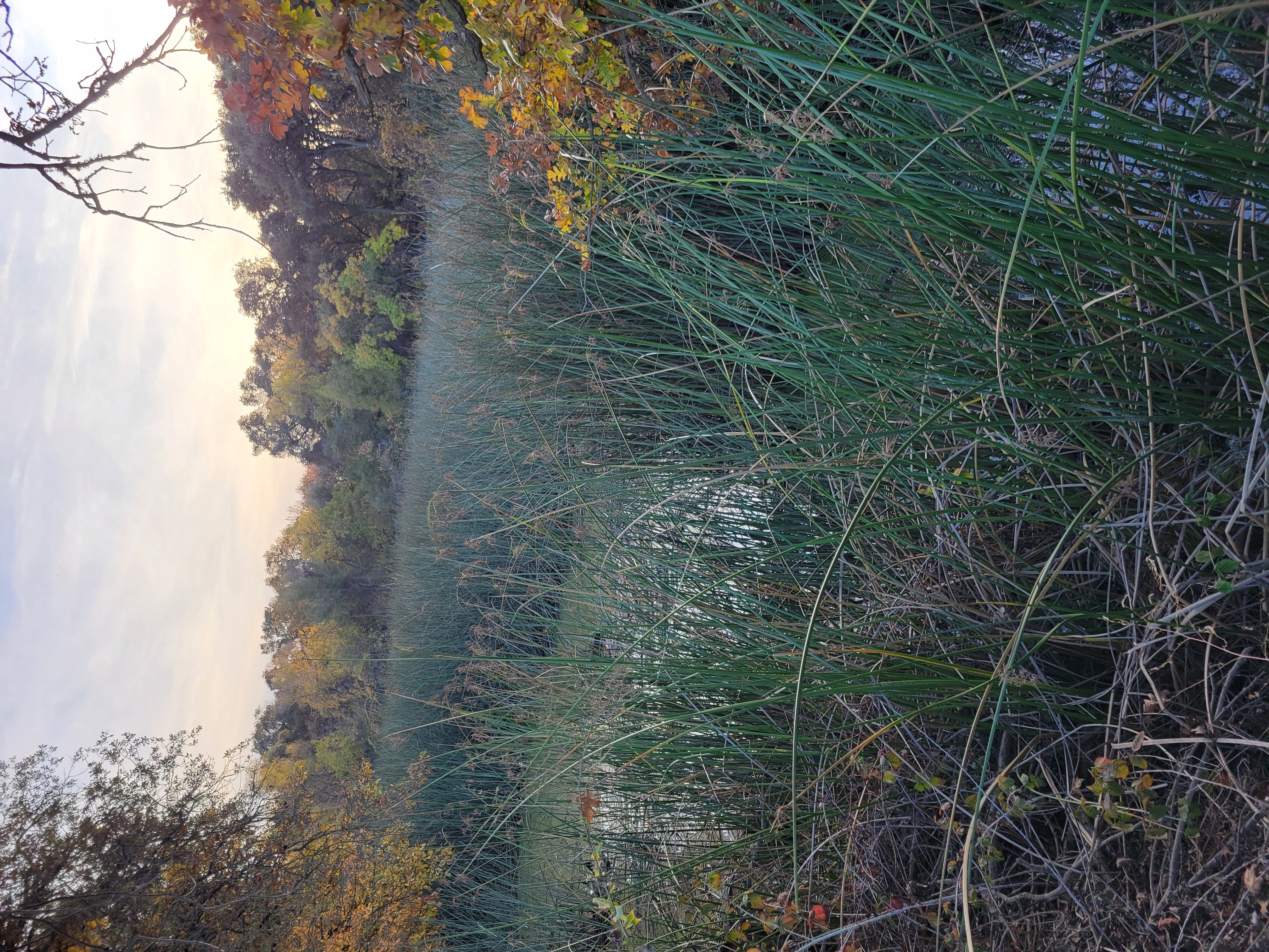
“Stage 0” Watershed Restoration at Corral Gulch (Bridger Cohen, WRTC)
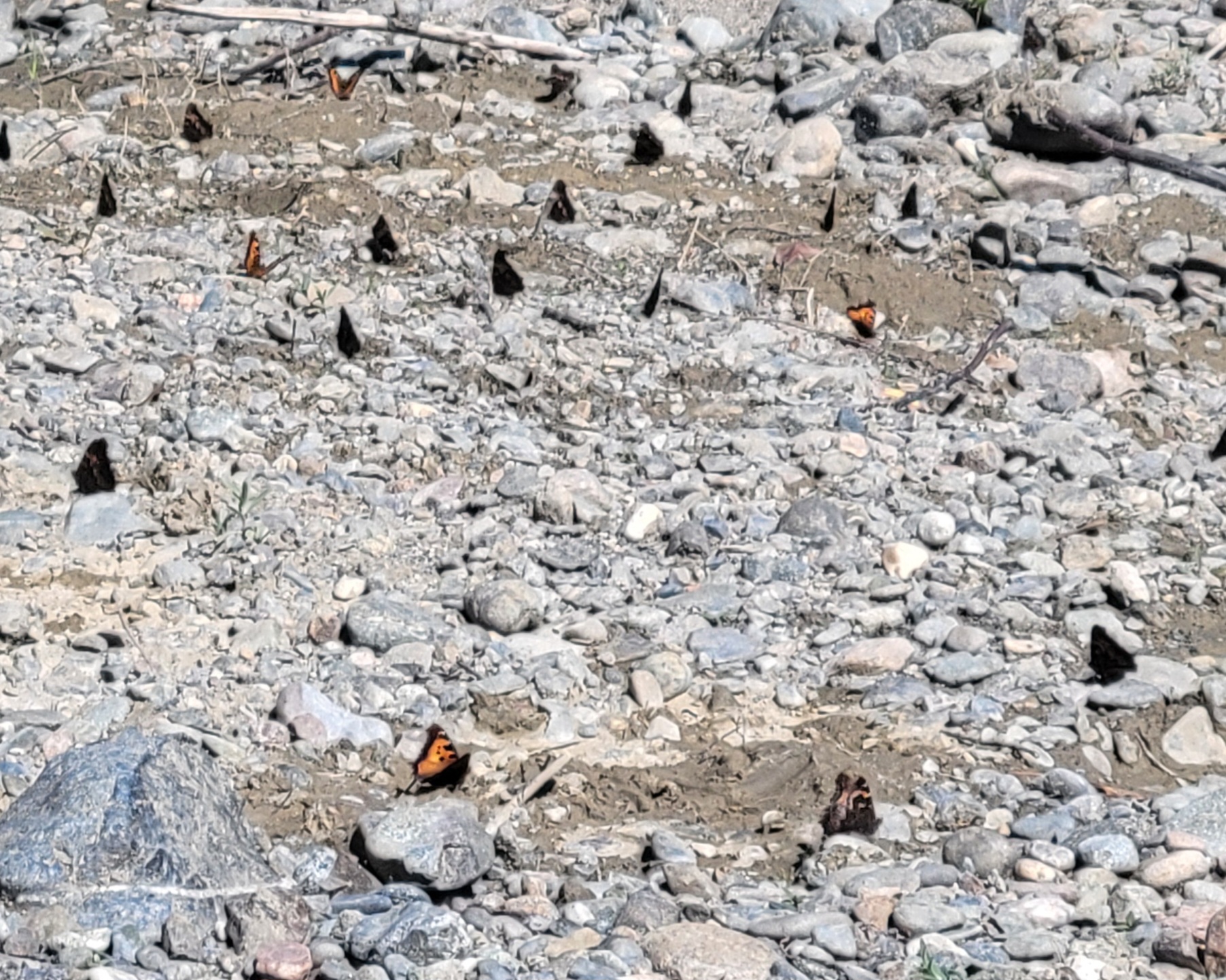
TMC received a detailed presentation on the Corral Gulch meadow restoration project performed by the Watershed Research and Training Center, the Yurok Tribe, in cooperation with the US Forest Service. The restoration followed a “Stage 0” valley reset in the South Fork Trinity watershed – the second known project following this concept design in Trinity County. The project reconnected the historic floodplain, has thus far raised groundwater levels, and dramatically slowed a previously channelized flow. Early monitoring shows remarkably fast hydrologic response, vegetative regeneration, and renewed wildlife use. This presentation sparked productive discussion about restoration techniques, long‑term monitoring, and opportunities for applying similar approaches in other areas in the Trinity River watershed.
Looking Ahead
The meeting closed with planning for the June session, which will include FY27 budget development, additional environmental flow evaluation study plans, and early discussion of the next TRRP science symposium. Council members also requested a future briefing on how safety‑of‑dams releases are analyzed relative to flow scheduling and biological performance, to ensure full transparency in hydrologic decision‑making.